
Trier-Nord, human settlement in Germany
Location: Trier
Elevation above the sea: 133 m
GPS coordinates: 49.76690,6.65611
Latest update: April 12, 2025 13:40
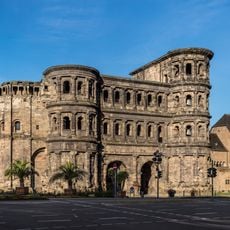
Porta Nigra
1.2 km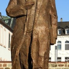
Karl Marx statue in Trier
1.3 km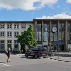
Trier Central Station
1.1 km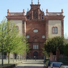
St. Maximin's Abbey
845 m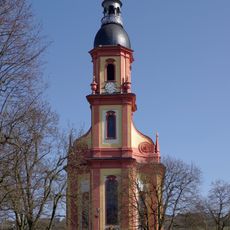
Saint Paulin Church
555 m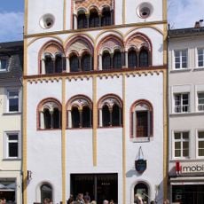
Dreikönigenhaus
1.4 km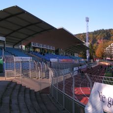
Moselstadion
613 m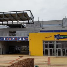
SWT-Arena
774 m
Karl-Marx-Wohnhaus
1.2 km
City Museum Simeonstift, Trier
1.2 km
Exzellenzhaus
711 m
St. Jost, Trier
970 m
Simeonstift of Trier
1.2 km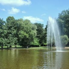
Nells Ländchen
922 m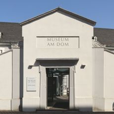
Bischöfliches Dom- und Diözesanmuseum Trier
1.4 km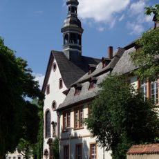
Welschnonnenkirche
1.3 km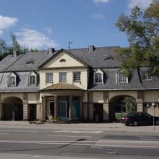
Hauptfriedhof Trier
250 m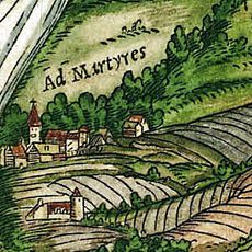
St. Maria ad ripa
711 m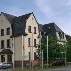
Jaeger barracks
323 m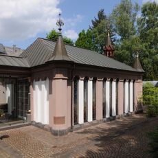
Maria-Hilf-Kapelle
1.3 km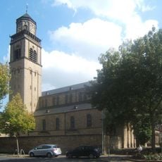
Church of St. Martin
916 m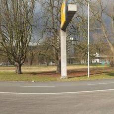
Verteilerkreis Trier
932 m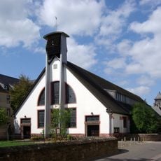
St. Ambrosius (Trier)
283 m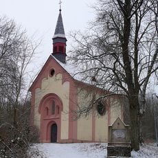
Kreuzkapelle
1.4 km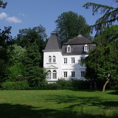
Kürenzer Schlösschen
899 m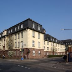
Artilleriekaserne (Trier)
571 m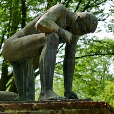
Denkmal für die Opfer der Gewaltherrschaft
258 m
Trierer Märtyrer
562 mReviews
Visited this place? Tap the stars to rate it and share your experience / photos with the community! Try now! You can cancel it anytime.
Discover hidden gems everywhere you go!
From secret cafés to breathtaking viewpoints, skip the crowded tourist spots and find places that match your style. Our app makes it easy with voice search, smart filtering, route optimization, and insider tips from travelers worldwide. Download now for the complete mobile experience.

A unique approach to discovering new places❞
— Le Figaro
All the places worth exploring❞
— France Info
A tailor-made excursion in just a few clicks❞
— 20 Minutes