
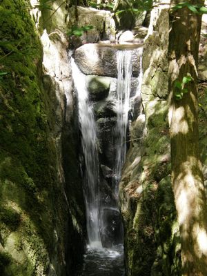
Stavehøl, Wasserfall in Dänemark
Location: Bornholm regional municipality
Height: 3 m
GPS coordinates: 55.18028,14.97359
Latest update: March 14, 2025 06:58
Ekkodalen
9.1 km
Helligdomsklipperne
7 km
Døndalen
7.8 km
Bornholms Museum of Arts
7 km
Gamleborg
8.5 km
Lilleborg
8.4 km
Egely Monastery
4.2 km
Oluf Høst Museum
3.7 km
Louisenlund
7.7 km
Tejn Mølle
2.4 km
Bornholms Middelaldercenter
1.4 km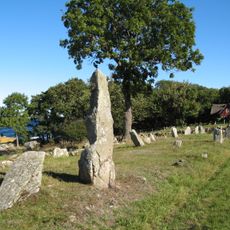
Hellig Kvinde
8.3 km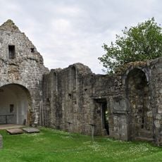
Østermarie church ruin
5.4 km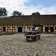
Melstedgård
2.5 km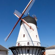
Gudhjem Windmill
3.1 km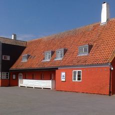
Gudhjem Museum
2.9 km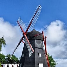
Kuremøllen
8.9 km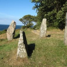
Hestestenene
3.8 km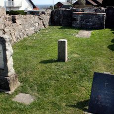
Sankt Anna Kapel
3.4 km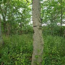
The Brohus stone
7.2 km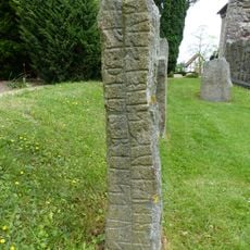
The Støblinge stone
5.4 km
The Gunulf stone
5.4 km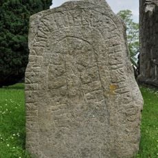
The Tærskel stone
5.4 km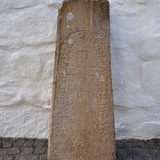
Runenstein 1 von Østerlars
1.3 km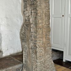
Runenstein 2 von Østerlars
1.2 km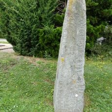
The Østermarie stone 6
5.4 km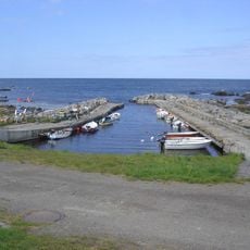
Bølshavn
7.1 km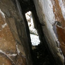
Sortegryde
7 kmReviews
Visited this place? Tap the stars to rate it and share your experience / photos with the community! Try now! You can cancel it anytime.
Discover hidden gems everywhere you go!
From secret cafés to breathtaking viewpoints, skip the crowded tourist spots and find places that match your style. Our app makes it easy with voice search, smart filtering, route optimization, and insider tips from travelers worldwide. Download now for the complete mobile experience.

A unique approach to discovering new places❞
— Le Figaro
All the places worth exploring❞
— France Info
A tailor-made excursion in just a few clicks❞
— 20 Minutes