Aurès Mountains, Mountain range in northeastern Algeria
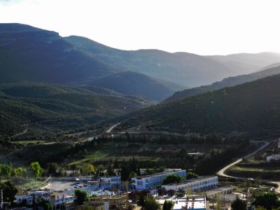
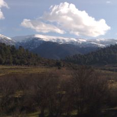
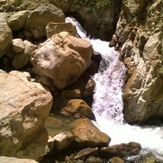
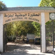
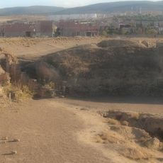
The Aurès Mountains are a mountain range stretching across six provinces in northeastern Algeria, with Mount Chélia reaching over 2,300 meters at its highest point. The range features deep valleys, forest zones, and highland plateaus that create varied landscapes across its span.
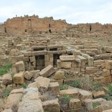
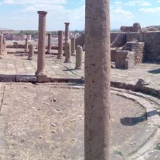
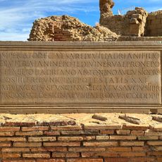
For centuries, the mountains served Berber tribes as defense positions against Roman, Vandal, and Byzantine invasions. During Algeria's independence war, the remote highlands became a strategic base for resistance fighters.
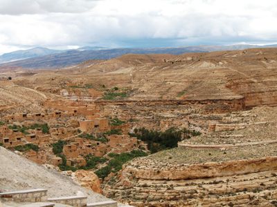
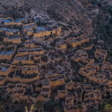
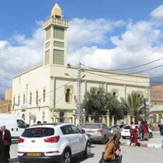
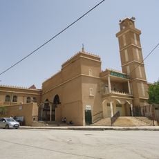
Chaoui Berber communities have lived here for generations, farming steep terraced slopes and raising livestock that moves seasonally with the weather. Their daily rhythms follow the mountain's seasons, shaping the character of villages scattered across the valleys.
A railroad and highway route crosses through the mountains at the El-Kantara pass near Batna, connecting the northern and southern regions. Mountain roads can be rough and challenging, so traveling with experienced local guides is advisable.
Two parallel valleys formed by the Wadis Abiod and Abdi create distinct microclimates that support different types of vegetation throughout the range. Pine forests grow in some areas while drought-resistant plants dominate elsewhere, depending on elevation and slope orientation.
The community of curious travelers
AroundUs brings together thousands of curated places, local tips, and hidden gems, enriched daily by 60,000 contributors worldwide.