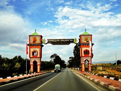
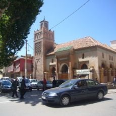
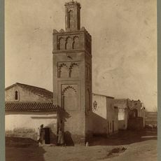
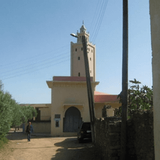
Maghnia, human settlement
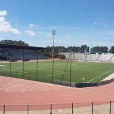
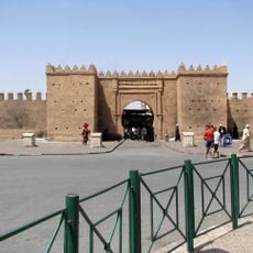
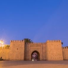
Maghnia is a commune located on the Algerian-Moroccan border in northwestern Algeria. The city sits in hilly terrain and functions as the main administrative center for its district.
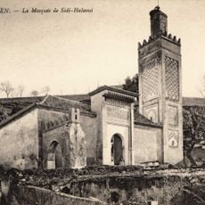
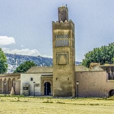
The city developed as a trading point along an important border route connecting North Africa and the Mediterranean region. Its position at the frontier shaped its role as a connecting point between two nations throughout history.
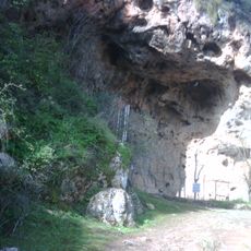
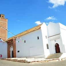
The town is best explored on foot since many areas are arranged compactly. Talking with local residents helps you learn the best routes and understand current conditions.
The community of curious travelers
AroundUs brings together thousands of curated places, local tips, and hidden gems, enriched daily by 60,000 contributors worldwide.