Suez Canal Bridge, Cable-stayed bridge in El-Qantara al-Sharqiya, Egypt
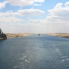
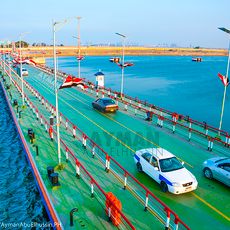
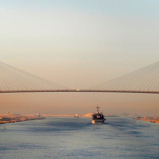
The Suez Canal Bridge spans 3900 meters across the waterway, linking Africa to Asia with a steel and concrete structure supported by two H-shaped pylons rising 154 meters high. The roadway sits well above the water to allow large vessels to pass freely beneath.
Construction began in 1995 with financial support from Japan, which covered around 60 percent of the total costs. Completion followed after several years of work and marked an important step in the region's infrastructure.
The bridge is officially named Al Salam, or Peace Bridge, and was known as the Mubarak Peace Bridge when Hosni Mubarak inaugurated it in October 2001. Its Japanese funding earned it the name Japan-Egypt Friendship Bridge. The nearby railway line runs alongside the bridge.
Four traffic lanes allow continuous movement between both continents and the structure maintains a clearance of 70 meters above the water so ships can pass without difficulty. The crossing stays open around the clock and vehicles of all sizes can use the bridge.
The 400-metre main span is flanked by two 1.8-kilometre approach spans, and the pylons were shaped as Pharaonic obelisks. The 70-metre clearance set the Suezmax ship limit at 68 metres above the waterline. The bridge was closed for security reasons on 20 July 2013 and reopened on 13 January 2016, after which west-to-east crossing ran one-way from 6 pm to 1 am, excluding vehicles over 40 tonnes and those carrying petroleum, cement, rubble, sand or flammable goods.
The community of curious travelers
AroundUs brings together thousands of curated places, local tips, and hidden gems, enriched daily by 93,174 contributors worldwide.