Greater Cairo, Metropolitan area in Cairo Governorate, Egypt
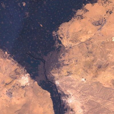
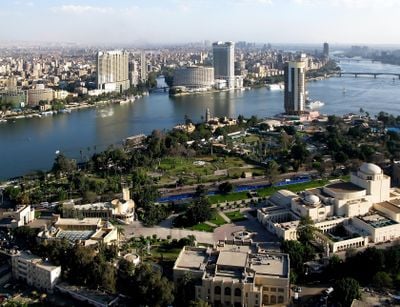
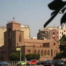
This area forms one continuous urban zone stretching along both banks of the Nile and into the surrounding desert, where older neighborhoods blend into newer developments. The cityscape shifts from dense districts with narrow streets and low buildings to wider thoroughfares lined with apartment blocks and sprawling suburbs.
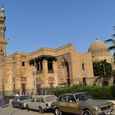
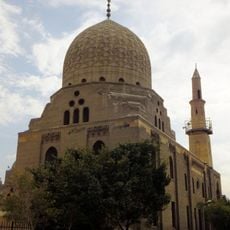
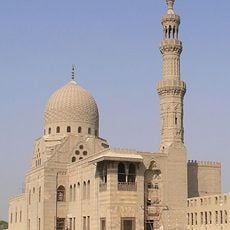
The area grew from several ancient settlements along the river, which merged over centuries into a single urban center. A new administrative core emerged in the 7th century and continued to expand under successive rulers.
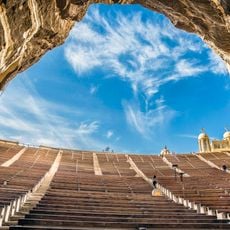
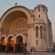
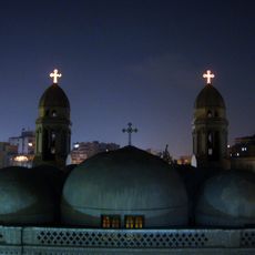
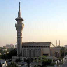
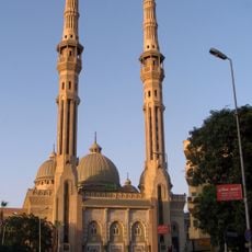
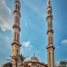
Calls to prayer echo across the city five times a day, shaping the pace of daily routines while street vendors shout their offers in tight alleyways filled with spices and fabrics. The river provides a focal point where families gather in the evening, and felucca sails drift slowly across the water.
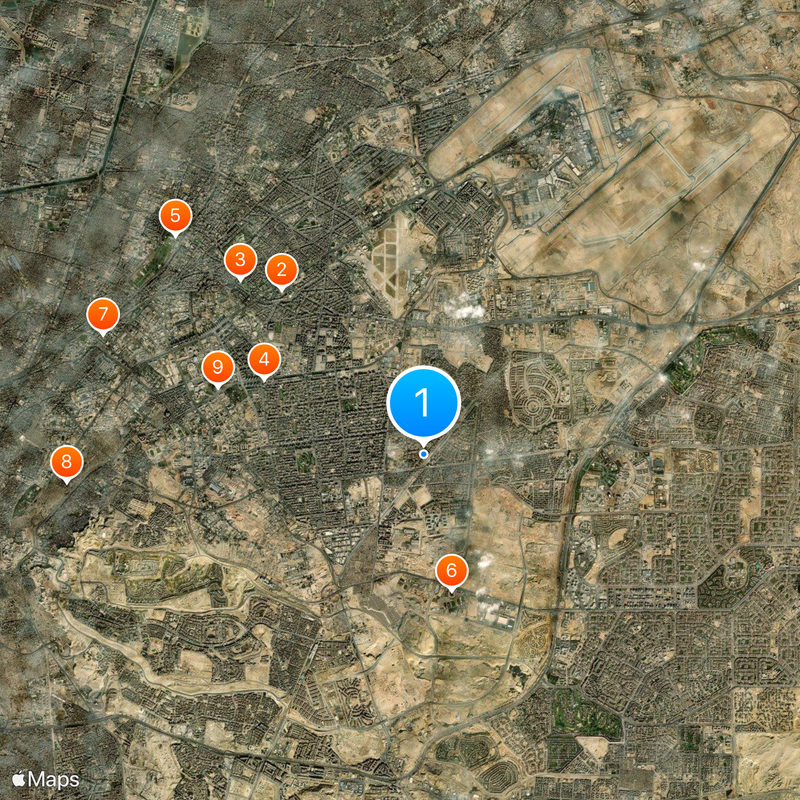
Metro lines follow the main axes and help travelers move quickly between key districts, while ring roads circle the outskirts and give a sense of direction. Distances can feel longer than they appear on maps, so allow extra time when venturing beyond the river.
Some neighborhoods still bear names from villages or trades that disappeared long ago, even though no fields or workshops remain visible today. Old wells and stone arches occasionally appear between streets, once marking boundaries and now surrounded by apartment buildings.
The community of curious travelers
AroundUs brings together thousands of curated places, local tips, and hidden gems, enriched daily by 60,000 contributors worldwide.