Gilf Kebir, Mountain plateau in New Valley Governorate, Egypt.
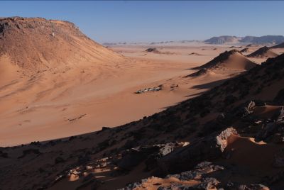
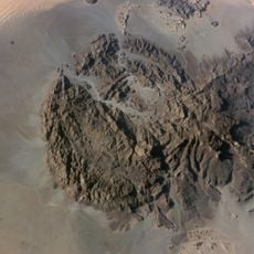
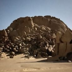
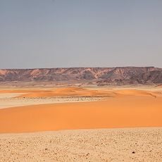
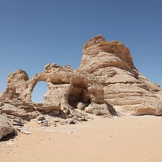
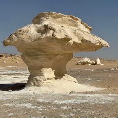
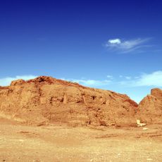
Gilf Kebir is a sandstone plateau that rises about 300 meters from the desert floor and spreads across southwestern Egypt and southeastern Libya. The formation displays steep rock walls and valleys whose layered stone records the region's long geological history.
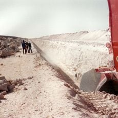
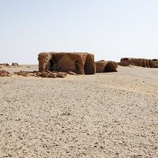
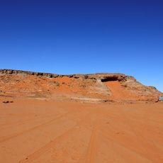
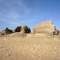
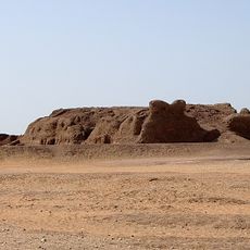
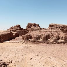
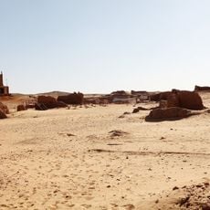
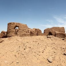
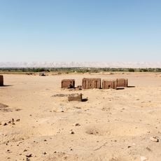
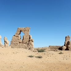
A prince named this sandstone formation in 1925, spurring a series of explorations that uncovered ancient settlements and military installations. Traces from different eras, ranging from prehistoric times to World War II, remain visible in the landscape today.
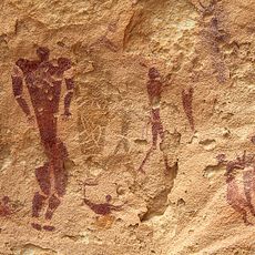
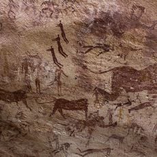
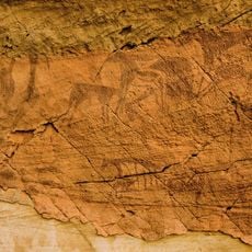
The rock walls in Wadi Sura show paintings of giraffes, ostriches, and human figures that hint at ancient peoples who once lived here. These drawings give a sense of what the landscape looked like long ago and what animals roamed the area.
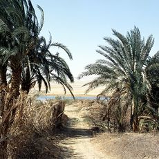
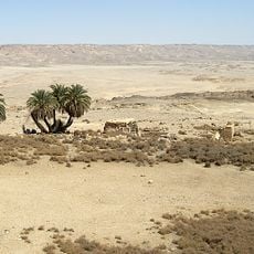
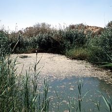
The plateau receives minimal rainfall, with rain occurring roughly once every twenty years, making water supplies essential for any visit. This extreme dryness shapes the climate heavily and requires good preparation before arrival.
A renowned explorer discovered a cave containing prehistoric artworks showing human figures in swimming positions, surprising in this arid desert setting. These findings suggest the region once held water and supported life on a much larger scale.
The community of curious travelers
AroundUs brings together thousands of curated places, local tips, and hidden gems, enriched daily by 60,000 contributors worldwide.