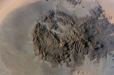
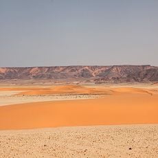
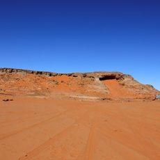
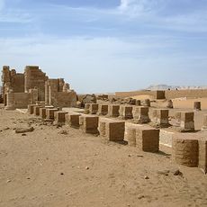
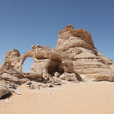
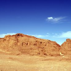
Jebel Uweinat, Mountain range at Egypt-Libya-Sudan border intersection
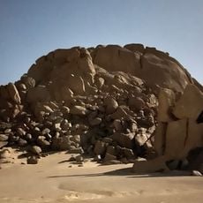
Jebel Uweinat is a granite mountain range sitting at the point where Libya and Sudan meet. It rises to just under 6,350 feet (around 1,934 meters) and stands entirely isolated in one of the most remote desert regions on Earth.
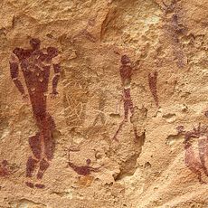
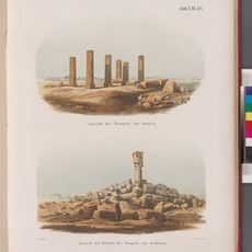
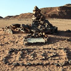
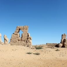
Ahmed Pasha Hassanein, an Egyptian explorer, was the first to document this mountain and its rock art during his 1923 expedition across the Libyan Desert. His reports brought international attention to the site and opened the way for later research.
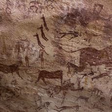
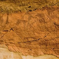
The rock walls at Jebel Uweinat are covered with prehistoric carvings showing lions, giraffes, and gazelles. These images were made by early pastoral peoples at a time when the Sahara had a wetter climate and supported far more wildlife than today.
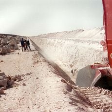
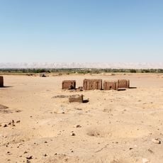
Visiting requires special permits from the relevant authorities in both countries, and travel should only be attempted with experienced guides and vehicles built for remote desert terrain. The distance from any settlement is considerable, so carrying enough water and supplies is not optional.
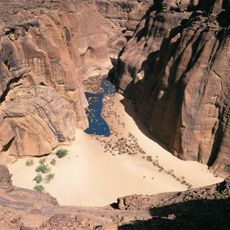
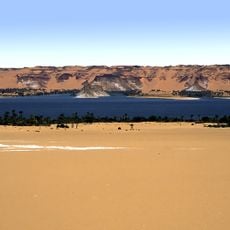
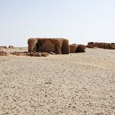
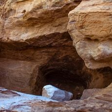
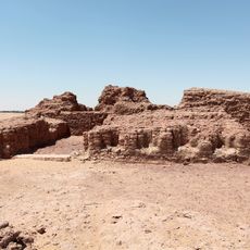
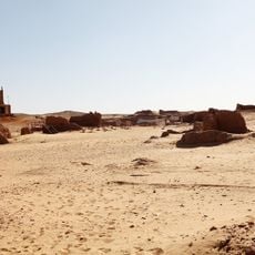
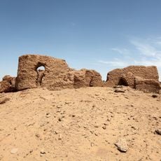
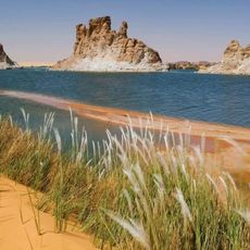
On the western slope of the massif, a small oasis with natural springs, including one called Ain Dua, provides water even in this extreme dryness. For thousands of years, this water made the spot a stopping place for caravans and nomadic herders crossing the desert.
The community of curious travelers
AroundUs brings together thousands of curated places, local tips, and hidden gems, enriched daily by 60,000 contributors worldwide.