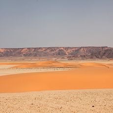
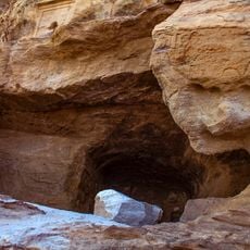
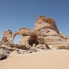
Gebel el Uwaynat, Mountain massif in Northern Sudan.
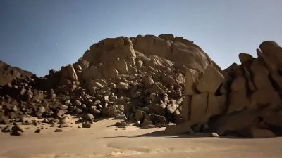
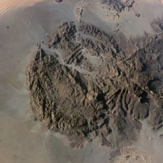
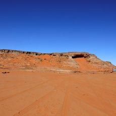
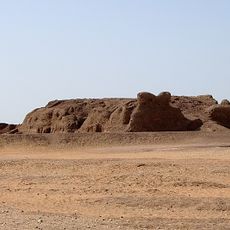
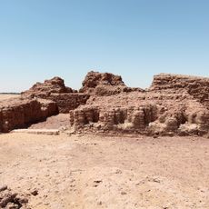
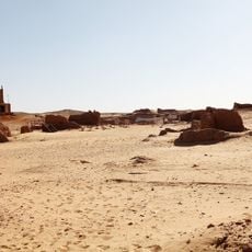
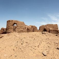
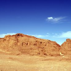
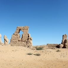
Gebel el Uwaynat is a mountain massif located at the border junction of Sudan, Libya, and Egypt in Northern Sudan. The formation consists of bedrock with a main ridge and several valleys that drain westward from the higher elevations.
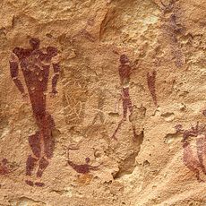
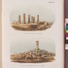
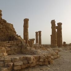
Egyptian explorer Ahmed Pasha Hassanein conducted the first documented exploration of the mountain in 1923, bringing the site and its prehistoric rock art to scientific attention. This expedition marked the beginning of systematic study of the region.
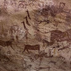
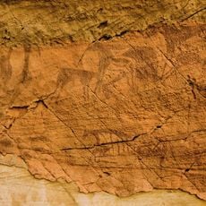
The rock walls display thousands of petroglyphs showing lions, giraffes, gazelles, and human figures that tell the story of early pastoral life in the Sahara. These ancient carvings reveal how people once lived and moved across this now-empty landscape.
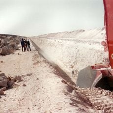
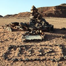
The site is remote and difficult to reach, requiring proper desert preparation and equipment for any visit. The cooler months offer better conditions for exploring the valleys and rock formations on foot.
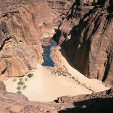
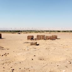
At the western foot of the massif, intrusive granite covered in large boulders hides an unexpected oasis with wells, bushes, and grass in the otherwise barren desert. This green pocket has served as a crucial waypoint for travelers crossing the Sahara.
Location: الولاية الشمالية
Made from material: bedrock
Address: Jebel Uweinat, Libya
GPS coordinates: 21.90367,24.97610
Latest update: December 6, 2025 19:05
Libya holds some of the Mediterranean world's most important ancient ruins. You can walk through Roman cities like Leptis Magna, where a 16,000-seat amphitheater still stands, or explore the Greek settlement of Cyrene, founded more than 2,500 years ago. Berber communities left their mark across the...
Great Manmade River
524.1 km
Cave of Swimmers
190.1 km
Ennedi Plateau
588.1 km
Dakhla Oasis
586.6 km
Cave of the Beasts
195.7 km
Jebel Uweinat
0 m
Lakes of Ounianga
554.7 km
Soleb
579.7 km
Kellis
581.5 km
Bikku Bitti
595.8 km
Gilf Kebir National Park
223.6 km
Sedeinga
580.6 km
Cave of the Archers
190.1 km
Magharet el-Qantara
158.8 km
Temple of Soleb
579.6 km
Jebel Dosha
574.2 km
Deir el-Hagar
572.7 km
Mastaba of Khentika
598.1 km
Samir Lama Rock
462 km
Qila' el-Dabba
598.1 km
Prince Kamal el Dine Memorial
127.7 km
Mastaba of Ima-Pepi II
598 km
Bir el-Shaghala
569.7 km
Deir el-Malak
577.4 km
Mastaba of Khentikau-Pepi
598.1 km
Tomb of Betju and Ideki
598.1 km
Deir Abu Matta
574 km
Beit el-Arais
577.4 kmVisited this place? Tap the stars to rate it and share your experience / photos with the community! Try now! You can cancel it anytime.
Discover hidden gems everywhere you go!
From secret cafés to breathtaking viewpoints, skip the crowded tourist spots and find places that match your style. Our app makes it easy with voice search, smart filtering, route optimization, and insider tips from travelers worldwide. Download now for the complete mobile experience.
A unique approach to discovering new places❞
— Le Figaro
All the places worth exploring❞
— France Info
A tailor-made excursion in just a few clicks❞
— 20 Minutes