Enable Location

We need your location to show you interesting places around you

Discover nearby places

Find interesting locations and hidden gems around you

Precise directions

Get accurate directions and distances to places

Your location is never shared with other users. It's only used when you tap the location button.

Urueña

Log in to your account

Start exploring — it's free

Trusted by 62,194 travelers worldwide

Continue with Google
Continue with Apple
or

We will send you a code to connect

By continuing, you accept our Terms and Conditions and our Privacy Policy

Check your inbox

We've sent a pincode in your inbox. Please enter the code below.

Urueña, Medieval municipality in Valladolid Province, Spain.

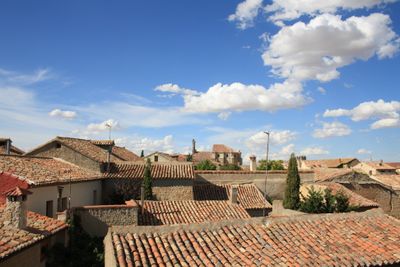
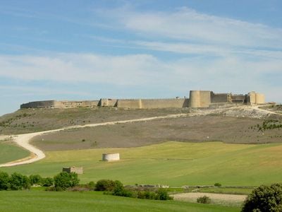
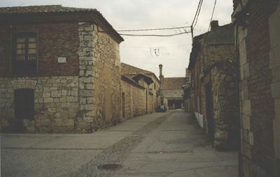
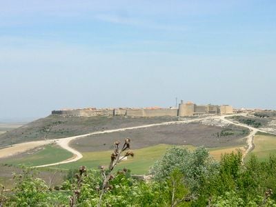
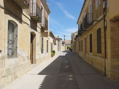
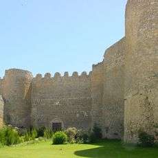
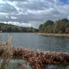
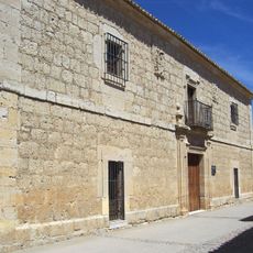
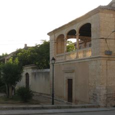
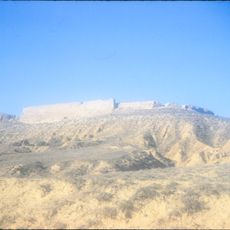
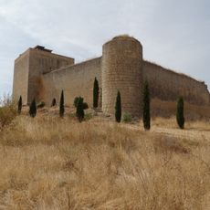
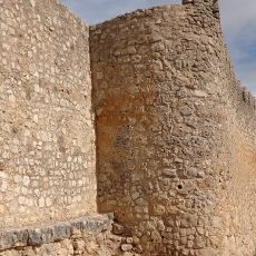
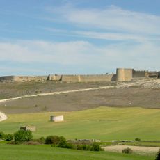
Urueña is a municipality in Valladolid Province situated at 830 meters elevation at the edge of the Torozos Mountains. Narrow lanes with stone buildings form the core of the settlement, surrounded by defensive walls and a castle structure.

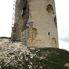
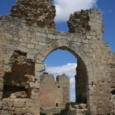
The settlement emerged as a strategic point during medieval conflicts between the kingdoms of León and Castile. Its walls and castle structure bear witness to the area's former military importance.

The town earned the designation of Spain's first Book Village, with bookstores and literary spaces woven throughout its medieval streets. This identity shapes how locals and visitors experience the place today.

The settlement is easily explored on foot since all main points of interest lie within the walled area. Visitors should expect slopes and wear sturdy footwear, as the old streets are uneven.

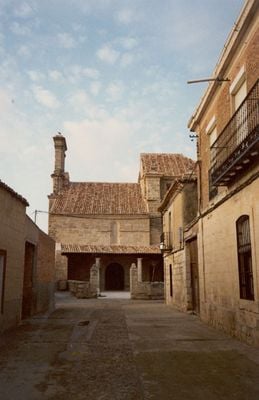
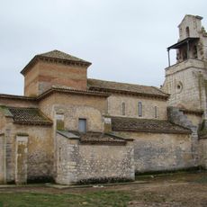
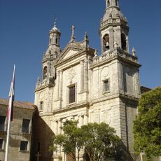
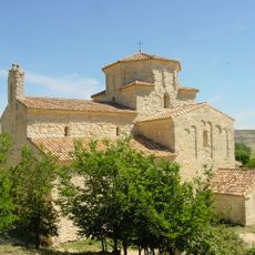
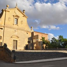
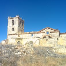
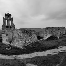
The Hermitage of Nuestra Señora de la Anunciada stands as the sole surviving example of Romanesque-Lombard architecture in the Castile and León region. This architectural feature makes the chapel a rare testament to this particular blend of building styles in the area.

The community of curious travelers

AroundUs brings together thousands of curated places, local tips, and hidden gems, enriched daily by 60,000 contributors worldwide.

Start exploring
Capital city
Urueña
Elevation above the sea
830 m
Part of
Mancomunidade «Campos Góticos», Mancomunidade «Serman»
Shares border with
Castromonte, San Cebrián de Mazote, Villardefrades, Villanueva de los Caballeros, Villagarcía de Campos
GPS coordinates
41.72694,-5.20333
Latest update
December 17, 2025 09:03
« Urueña - Medieval municipality in Valladolid Province, Spain » is provided by Around Us (aroundus.com). Images and texts are derived from Wikimedia project under a Creative Commons license. You are allowed to copy, distribute, and modify copies of this page, under the conditions set by the license, as long as this note is clearly visible.

Discover hidden gems everywhere you go!

From secret cafés to breathtaking viewpoints, skip the crowded tourist spots and find places that match your style. Our app makes it easy with voice search, smart filtering, route optimization, and insider tips from travelers worldwide. Download now for the complete mobile experience.

Around Us App Screenshot

A unique approach to discovering new places

Le Figaro

All the places worth exploring

France Info

A tailor-made excursion in just a few clicks

20 Minutes

Around Us
Travel Guide & Maps
Download

Send to your phone

QR Code
1

Open the camera app on your mobile.

2

Point at the QR code with your camera. A notification will appear.

3

Tap the notification to open the link.