
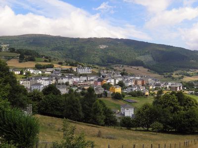
Bual, parish (parroquia) in Boal, Asturias, Spain
Location: Bual
Elevation above the sea: 466 m
Shares border with: Llebredo, Serandías, Ponticella, Castriyón, Doiras, Rozadas
GPS coordinates: 43.34671,-6.81957
Latest update: April 20, 2025 13:28
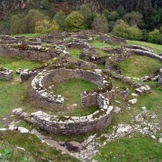
Castro de Cuaña
19.2 km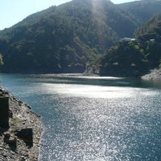
Embalse de Salime
12.5 km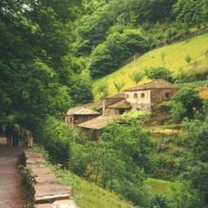
Conjunto Histórico de Teixois
21 km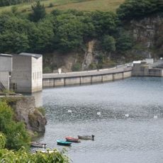
Doiras HPP
4.5 km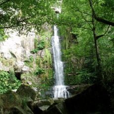
Cascadas de Oneta
17.1 km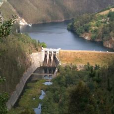
Arbón dam
16.4 km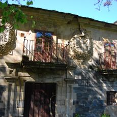
Palacio de Mon
11.6 km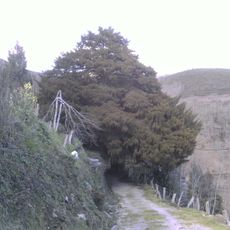
Tejo de Santa Coloma
9.5 km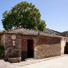
Ethnographic Museum of Grandas de Salime
15 km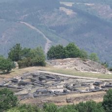
Chao Samartín
18.6 km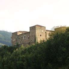
Palace of Cienfuegos de Peñalba
18.6 km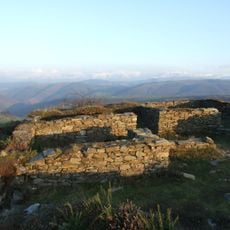
Castro de San Chuis
22.2 km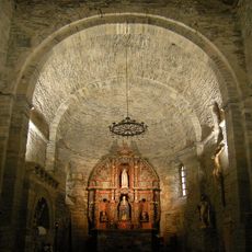
Monasterio de Santa María de Villanueva de Oscos
14 km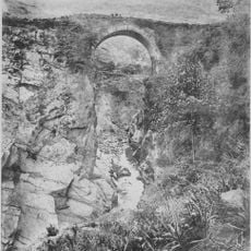
Puente de Salime
14.8 km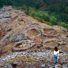
Castro de Pendía
10.2 km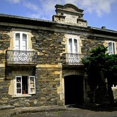
Palacio de Ron
11.5 km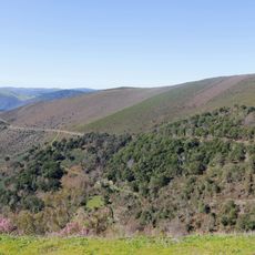
Alcornocal de Boxo
8.1 km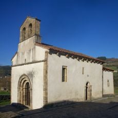
Church of Santa María de Celón
22.6 km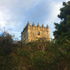
Palacio de Lienes
21.1 km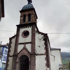
Church of Saint Andrew
19 km
Tower of Valledor (Allande)
19.2 km
Tejo de Lago
12.7 km
Casa Elisa y Luis Villamil
22.8 km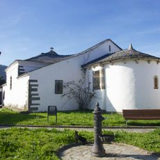
Church of Santiago de Pesoz
10.9 km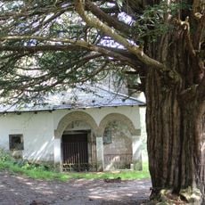
Field of church of Santa Coloma (Allande)
9.6 km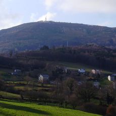
Pena Queimada
8.6 km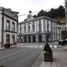
Casa consistorial de Allande
18.9 km
Biblioteca Pública Municipal de Navia - Carlos Peláez
22.8 kmReviews
Visited this place? Tap the stars to rate it and share your experience / photos with the community! Try now! You can cancel it anytime.
Discover hidden gems everywhere you go!
From secret cafés to breathtaking viewpoints, skip the crowded tourist spots and find places that match your style. Our app makes it easy with voice search, smart filtering, route optimization, and insider tips from travelers worldwide. Download now for the complete mobile experience.

A unique approach to discovering new places❞
— Le Figaro
All the places worth exploring❞
— France Info
A tailor-made excursion in just a few clicks❞
— 20 Minutes