Enable Location

We need your location to show you interesting places around you

Discover nearby places

Find interesting locations and hidden gems around you

Precise directions

Get accurate directions and distances to places

Your location is never shared with other users. It's only used when you tap the location button.

Danakil Depression

Log in to your account

Start exploring — it's free

Trusted by 61,555 travelers worldwide

Continue with Google
Continue with Apple
or

We will send you a code to connect

By continuing, you accept our Terms and Conditions and our Privacy Policy

Check your inbox

We've sent a pincode in your inbox. Please enter the code below.

Danakil Depression

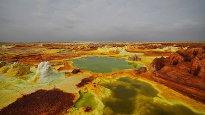
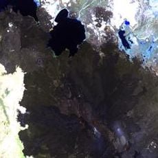
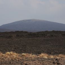
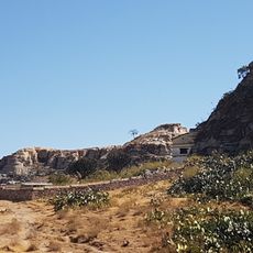
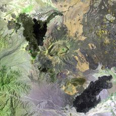
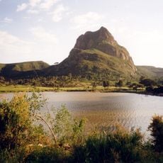
Danakil Depression, Geological depression in Afar Region, Ethiopia.

Description

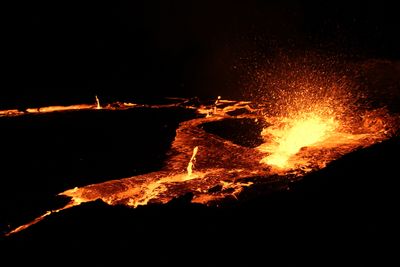
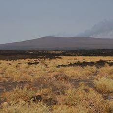
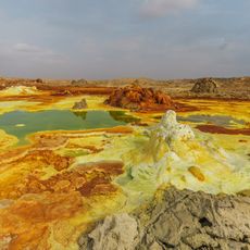
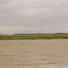
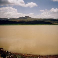
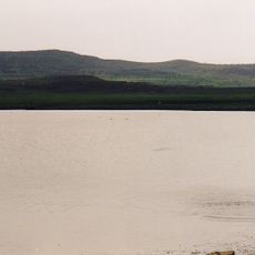
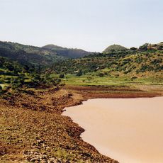
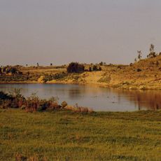
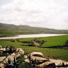
This geological depression stretches 200 kilometers long and 50 kilometers wide, sitting partially 410 feet (125 meters) below sea level. The landscape encompasses salt lakes, lava lakes, active volcanoes and acidic springs whose mineral deposits create bright yellow, green and red colorations.

History

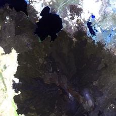
Paleoanthropologists discovered the Lucy fossil here in 1974, a 3.2 million year old Australopithecus afarensis specimen that established the region as a significant site for human evolution research. Tectonic activity at the junction of three continental plates has been reshaping this depression for millions of years.

Culture

Afar communities have extracted salt here for centuries, moving mineral blocks by camel caravan along established trade routes to regional markets. This traditional economy continues to shape the lives of nomadic populations in one of the continent's harshest inhabited regions.

Practical

Tours depart from Mekele between September and May when temperatures drop to 95 degrees Fahrenheit (35 degrees Celsius) rather than the extreme 122 degrees Fahrenheit (50 degrees Celsius) during summer months. Visitors require four-wheel drive vehicles, armed guides per regional regulations and must bring adequate water and sun protection.

Did you know?

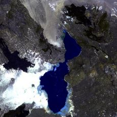
The Gaet'ale Pond, which formed after a 2005 earthquake, contains water with 43 percent salinity, surpassing the Dead Sea. This extreme salinity makes it the most concentrated natural salt lake on Earth and excludes nearly all life forms.

Location
Elevation above the sea
-125 m
Part of
Afar Triangle
Address
Danakil Depression, Ethiopia
GPS coordinates
14.24170,40.30000
Latest update
December 12, 2025 17:54

AroundUs brings together thousands of curated places, local tips, and hidden gems, enriched daily by 60,000 contributors worldwide. Discover all places nearby (Afar Region).

Geological formations: canyons, caves, rock formations

This collection presents geological formations created through millions of years of natural processes. From the striped sandstone walls of Antelope Canyon in Arizona to the basaltic columns of the Giant's Causeway in Northern Ireland and the calcium terraces of Pamukkale in Turkey, these sites...

Satellite images showing incredible locations seen from the sky

Satellite imagery has transformed how we view remote locations on Earth, offering perspectives on places that are often invisible or difficult to reach from ground level. This collection presents natural formations, artificial structures and historical sites from an aerial vantage point. From...

Photography locations in Ethiopia

Ethiopia offers photographers a range of subjects from medieval architecture to geologically active zones. In the north, Lalibela features eleven churches carved from solid tuff rock during the 12th and 13th centuries, while Axum holds obelisks from the Aksumite Empire that flourished from the 1st...

« Danakil Depression - Geological depression in Afar Region, Ethiopia » is provided by Around Us (aroundus.com). Images and texts are derived from Wikimedia project under a Creative Commons license. You are allowed to copy, distribute, and modify copies of this page, under the conditions set by the license, as long as this note is clearly visible.

Discover hidden gems everywhere you go!

From secret cafés to breathtaking viewpoints, skip the crowded tourist spots and find places that match your style. Our app makes it easy with voice search, smart filtering, route optimization, and insider tips from travelers worldwide. Download now for the complete mobile experience.

Around Us App Screenshot

A unique approach to discovering new places

Le Figaro

All the places worth exploring

France Info

A tailor-made excursion in just a few clicks

20 Minutes

Around Us
Travel Guide & Maps
Download

Send to your phone

QR Code
1

Open the camera app on your mobile.

2

Point at the QR code with your camera. A notification will appear.

3

Tap the notification to open the link.