Afar Region, Administrative division in northeastern Ethiopia
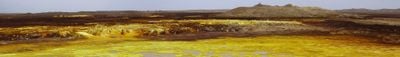
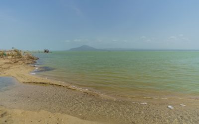
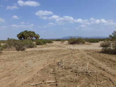
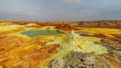
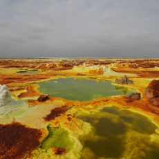
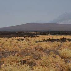
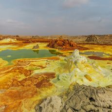
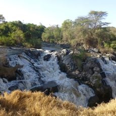
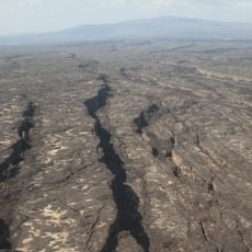
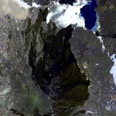
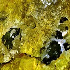
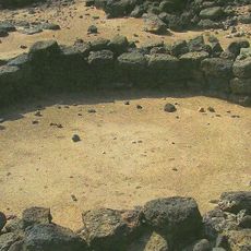
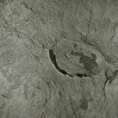
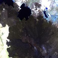
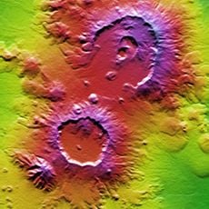
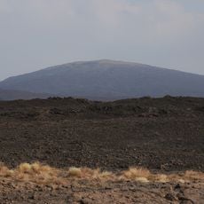
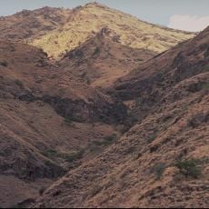
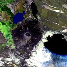
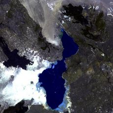
The Afar Region is an administrative unit in northeastern Ethiopia that stretches across a large expanse of desert land, mountain ranges, and low-lying depressions. The landscape is shaped by active volcanoes, salt lakes, and the Rift Valley, making it a geologically remarkable area.
This administrative unit came into being in 1995 during the reorganization of the Ethiopian state, when the country was divided into ethnically defined regions. Semera was chosen as the new administrative center some years later to move government offices from Asaita.
Most residents earn their living by herding livestock and moving between grazing areas, with many families living in portable shelters made of mats and wood. Markets in the larger settlements trade salt and other goods from the surrounding territory.
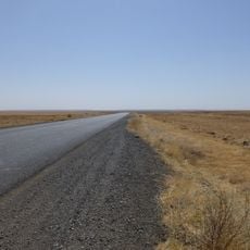
The main road from Awash to Assab crosses the territory and connects the major towns, though travelers should expect dusty stretches and sometimes difficult conditions. Water and supplies should be replenished in the larger towns, as distances between settlements are considerable.
Researchers found the skeletal remains of an early human ancestor in this territory, dating back several million years and providing science with crucial insights into human evolution. The geological layers make the area an international focal point for paleoanthropology.
The community of curious travelers
AroundUs brings together thousands of curated places, local tips, and hidden gems, enriched daily by 60,000 contributors worldwide.