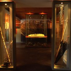
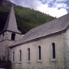
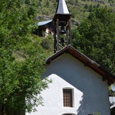
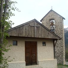
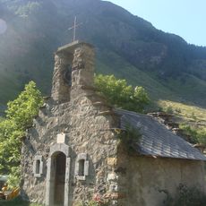
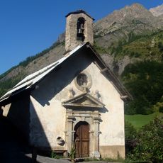
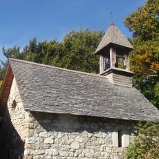
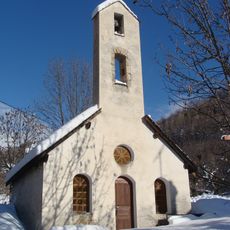
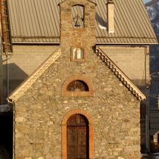
Orcières, Mountain commune in Hautes-Alpes, France
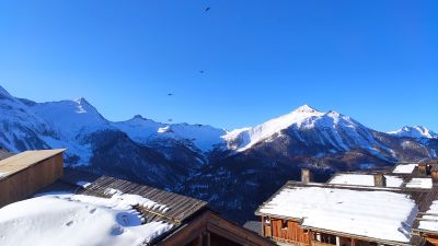
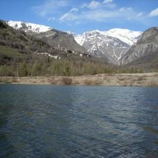
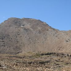
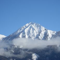
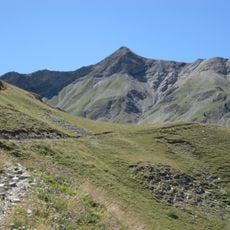
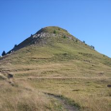
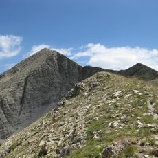
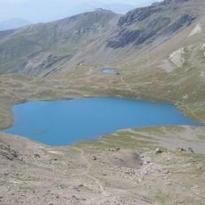
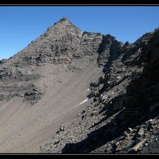
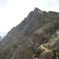
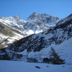
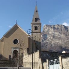
Orcières is a mountain commune in the Hautes-Alpes that spans from 1170 to 3117 meters in elevation and consists of roughly 22 hamlets with numerous lakes spread across the territory. The terrain rises and falls dramatically, creating a varied landscape where villages are scattered across different slopes.
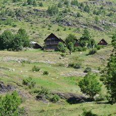
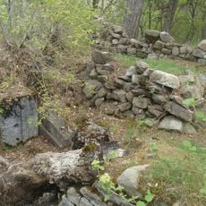
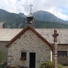
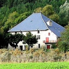
The settlement began in medieval times as a mountain community and grew through farming and seasonal herding activities. Later, road development and modern infrastructure opened the area and led to the creation of winter sports facilities in the twentieth century.
Residents keep alive traditional mountain farming while running modern ski resorts that draw visitors throughout the year. This blend of old crafts and newer tourism shapes the rhythm of daily life here.
You can reach Orcières by car from Gap in about 45 minutes, with regular bus connections serving the region. The best time to visit depends on whether you prefer winter sports or summer hiking.
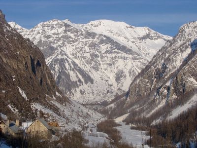
About half of the territory sits within the protected zone of Écrins National Park, featuring mountain lakes like Estaris, Pisses, and Jumeaux. These lakes become accessible during warmer months and offer a natural gateway into the mountain wilderness.
Location: Hautes-Alpes
Location: arrondissement of Gap
Industry: administration publique générale
Shares border with: Ancelle, Champoléon, Châteauroux-les-Alpes, Freissinières, Réallon, Saint-Jean-Saint-Nicolas
Address: Le Village, 05170 Orcières
Phone: +33492557026
Email: dgs@orcieres-mairie.fr
Website: https://orcieres.com
GPS coordinates: 44.68444,6.32500
Latest update: December 7, 2025 19:30
Dormillouse
11.1 km
Sirac
11.8 km
Montorcier
7.8 km
Lac d'Orcières-Merlette
1.2 km
Tête de Vautisse
12.8 km
Petite Autane
7.9 km
Le Piolit
10.1 km
Le Palastre
9.2 km
Grande Autane
5 km
Réserve naturelle nationale du cirque du grand lac des Estaris
6 km
Petit Pinier
6.8 km
Pointe des Estaris
6.6 km
Parc animalier du Creuset
487 m
Pointe de Rougnoux
8.6 km
Église Saint-Pélade de Réallon
10.4 km
Maison du Berger
6.4 km
Église paroissiale de Saint-Jean-Saint-Nicolas
8.7 km
Chapelle de Pont-du-Fossé
7.9 km
Manoir de Prégentil
7.5 km
Église de Champoléon
6.5 km
Temple de Dormillouse de Freissinières
11.1 km
Chapelle Saint-Nicolas de Saint-Jean-Saint-Nicolas
6.9 km
Chapelle des Fermonds
7.6 km
Chapelle Saint-Jean-Baptiste des Gondouins
7.7 km
Chapelle Saint-Pierre-et-Saint-Paul des Estachys
9.5 km
Chapelle Saint-Grégoire-et-Saint-Pancrace des Ricous
5.1 km
Chapelle des Ranguis
6.8 kmVisited this place? Tap the stars to rate it and share your experience / photos with the community! Try now! You can cancel it anytime.
Discover hidden gems everywhere you go!
From secret cafés to breathtaking viewpoints, skip the crowded tourist spots and find places that match your style. Our app makes it easy with voice search, smart filtering, route optimization, and insider tips from travelers worldwide. Download now for the complete mobile experience.
A unique approach to discovering new places❞
— Le Figaro
All the places worth exploring❞
— France Info
A tailor-made excursion in just a few clicks❞
— 20 Minutes