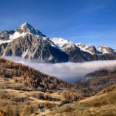
Pic du Lausin, Mountain summit in Provence-Alpes-Côte d'Azur, France
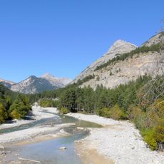
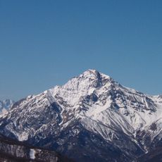
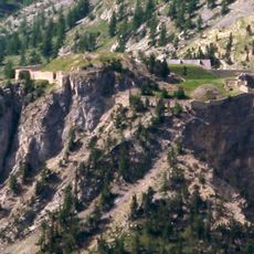
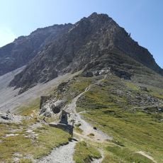
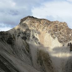
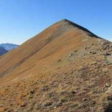
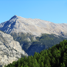
Pic du Lausin is a mountain summit in the French Alps rising to approximately 2,400 meters (7,900 feet). The peak offers rocky terrain with steep approaches and stands within a network of connected alpine ridges and valleys.
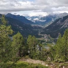
The mountain range took shape millions of years ago during the Alpine orogeny, when tectonic forces lifted and folded the earth's crust into peaks. For millennia, these high slopes have served as passage routes for seasonal herds and alpine communities.
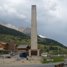
Shepherd communities in the region have practiced seasonal livestock migration through mountain passages for generations, a tradition still visible in how people move across the high valleys. This way of life shapes how local families view and use the alpine terrain.
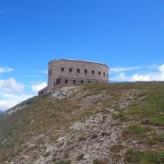
The summit is most safely reached between June and September when snow cover diminishes and weather is most stable. Proper hiking boots, mountaineering gear, and careful attention to weather changes are essential since conditions can shift rapidly at this elevation.
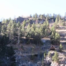
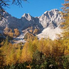
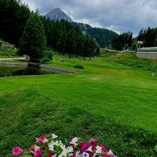
The slopes around the peak harbor rare alpine plant species found only at specific elevations between 2,000 and 2,400 meters (6,500 to 7,900 feet). These plant communities adapt to extreme conditions and shift appearance noticeably with the seasons.
The community of curious travelers
AroundUs brings together thousands of curated places, local tips, and hidden gems, enriched daily by 60,000 contributors worldwide.