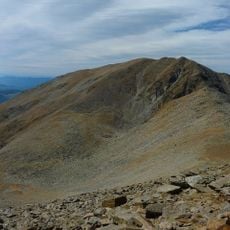
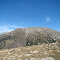
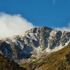
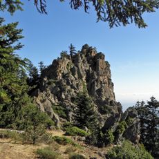
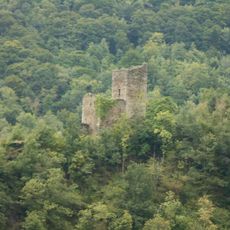
Pic Joffre, Mountain summit in Taurinya, France
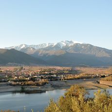
Pic Joffre rises to 2360 meters within the Canigou Massif and offers views across the surrounding mountain landscape in southern France. The summit can be reached by several marked trails that start from different points in the valley below.
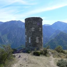
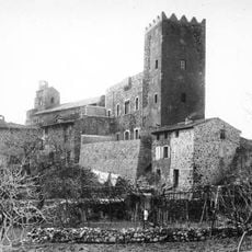
The summit served as a natural boundary between regions and shaped how people moved through and understood the mountain landscape. Its role as a marker of territorial limits influenced the settlement patterns and routes through the surrounding valleys.
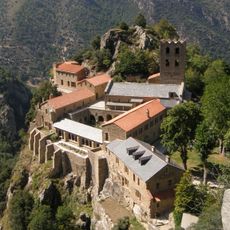
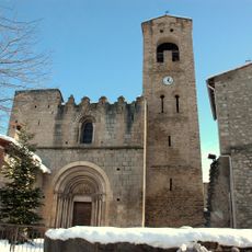
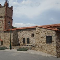
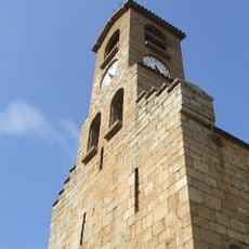
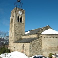
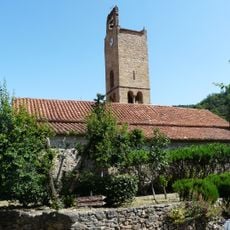
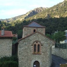
The mountain holds deep roots in Catalan traditions of the region, showing where time-honored mountain practices remain visible to visitors today. The landscape reflects the cultural connection that runs between the valleys and the heights of these mountain ranges.
Visitors should come prepared with sturdy footwear and layered clothing, as weather conditions can change quickly at this elevation. The trails are well marked, and hikers should plan for about one and a half to two hours for the ascent depending on experience.
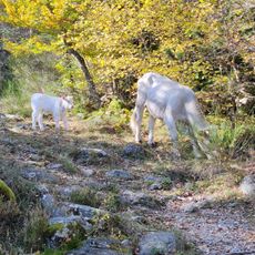
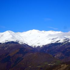
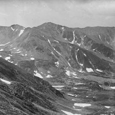
The summit marks a point where water flows toward two different seas, creating distinct growing conditions for plants on each side. This means visitors can observe how the landscape and vegetation change from one slope to the other at the very top.
The community of curious travelers
AroundUs brings together thousands of curated places, local tips, and hidden gems, enriched daily by 60,000 contributors worldwide.