Enable Location

We need your location to show you interesting places around you

Discover nearby places

Find interesting locations and hidden gems around you

Precise directions

Get accurate directions and distances to places

Your location is never shared with other users. It's only used when you tap the location button.

Log in to your account

Start exploring — it's free

Trusted by 65,349 travelers worldwide

Continue with Google
Continue with Apple
or

We will send you a code to connect

By continuing, you accept our Terms and Conditions and our Privacy Policy

Check your inbox

We've sent a pincode in your inbox. Please enter the code below.

Dôme de la Cochette
Discussion Reviews Photo
30+ Popularity

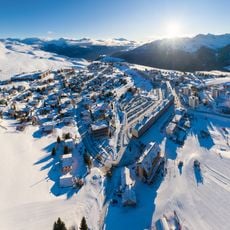
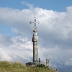
Dôme de la Cochette, Mountain summit in Saint-Sorlin-d'Arves, France.

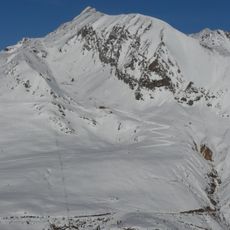
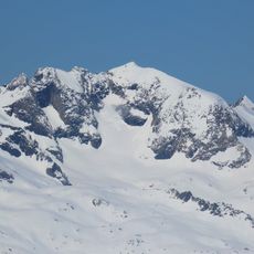
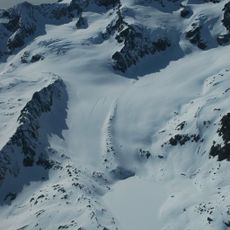
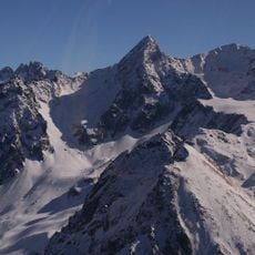
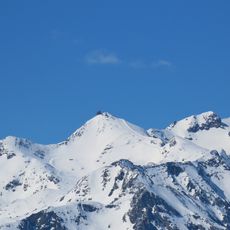
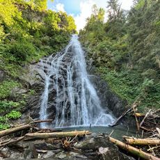
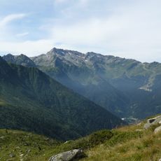
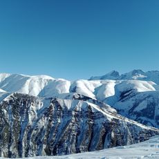
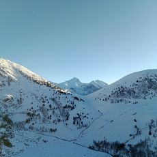
Dôme de la Cochette is a mountain summit in the Grandes Rousses massif rising to 3041 meters, marked by rocky ridges and glaciers clinging to its slopes. The peak sits in the Saint-Sorlin-d'Arves area and from the top you can see across the surrounding Alpine terrain in multiple directions.

Mountaineers in the 19th century mapped this section of the French Alps and created access routes from the Maurienne valley side. These explorations made the summit part of the early Alpine climbing movement in the region.

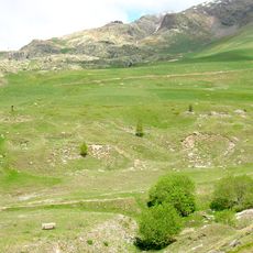
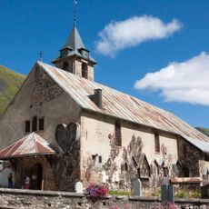
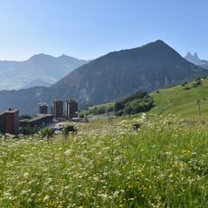
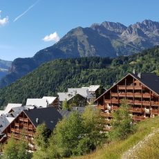
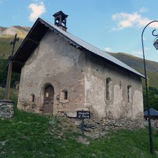
Herders in the area use the pastures below the summit during summer months, maintaining a centuries-old tradition of Alpine farming in the French mountains. This practice shapes how the landscape looks and shows how people have lived here with the mountains for a long time.

Climbing to the peak requires a full day starting from the Col de la Croix de Fer parking area at 2064 meters, with a total elevation gain of around 1150 meters. It is wise to start early and monitor weather conditions since conditions at this altitude can change quickly.

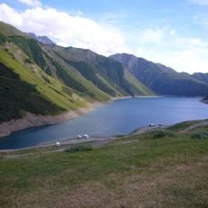
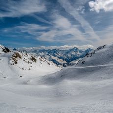
From the summit you can see the Saint-Sorlin glacier, Lake Bramant, and Lake Blanc all at once, showing how the mountain sits within a landscape of water features. This combination of glaciers and alpine lakes in a single view is rare to witness from one spot.

The community of curious travelers

AroundUs brings together thousands of curated places, local tips, and hidden gems, enriched daily by 60,000 contributors worldwide.

Start exploring
Location
GPS coordinates
45.18333,6.16667
Latest update
December 15, 2025 13:24
Reviews
Share your experience

No review yet

Discussions
Start a discussion...

No discussion yet

« Dôme de la Cochette - Mountain summit in Saint-Sorlin-d'Arves, France » is provided by Around Us (aroundus.com). Images and texts are derived from Wikimedia project under a Creative Commons license. You are allowed to copy, distribute, and modify copies of this page, under the conditions set by the license, as long as this note is clearly visible.

Discover hidden gems everywhere you go!

From secret cafés to breathtaking viewpoints, skip the crowded tourist spots and find places that match your style. Our app makes it easy with voice search, smart filtering, route optimization, and insider tips from travelers worldwide. Download now for the complete mobile experience.

Around Us App Screenshot

A unique approach to discovering new places

Le Figaro

All the places worth exploring

France Info

A tailor-made excursion in just a few clicks

20 Minutes

Around Us
Travel Guide & Maps
Download

Send to your phone

QR Code
1

Open the camera app on your mobile.

2

Point at the QR code with your camera. A notification will appear.

3

Tap the notification to open the link.