Burren and Cliffs of Moher Geopark, UNESCO Global Geopark in County Clare, Ireland
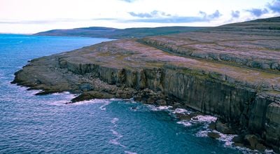
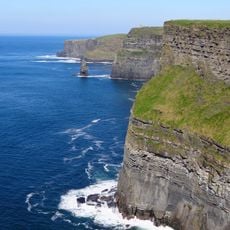
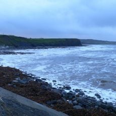
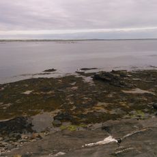
Burren and Cliffs of Moher Geopark is a protected area in County Clare, covering a karst limestone landscape in the interior and a dramatic stretch of coastal cliffs along the Atlantic. The cliffs rise to around 700 feet (about 210 meters) at their highest point, while the inland terrain is made up of bare rock pavements crossed by deep cracks called grikes.
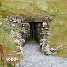
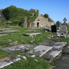
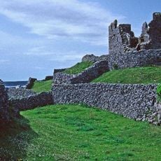
The limestone of the Burren formed around 350 million years ago on the bed of a shallow tropical sea, and later ice ages scraped the rock clean of almost all soil. People have lived here since the Stone Age, and the landscape still holds one of the highest concentrations of ancient monuments in Ireland.
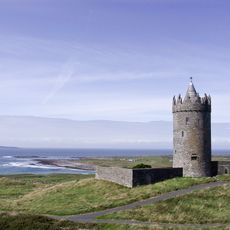
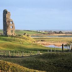
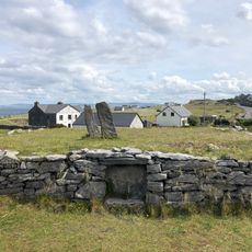
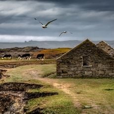
The name Burren comes from an Irish word meaning rocky place, and the land lives up to that name with its bare limestone pavements stretching in every direction. Locals have farmed here for generations, and old stone walls still cross the fields, showing how people have long worked around the rock rather than against it.
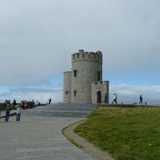
The geopark has no single entrance, and visitors can approach it from several towns and villages around the area, each offering a different view of the landscape. Sturdy footwear is a good idea whether you are heading to the cliffs or walking across the open limestone inland.
The Burren is one of the few places in the world where Arctic and Mediterranean plants grow side by side, not because of any particular warmth, but because the rock absorbs heat slowly and the ocean air keeps frosts rare. Walking across the flat limestone, you can spot orchids growing from cracks just a few steps from plants more typical of cold northern regions.
The community of curious travelers
AroundUs brings together thousands of curated places, local tips, and hidden gems, enriched daily by 60,000 contributors worldwide.