Enable Location

We need your location to show you interesting places around you

Discover nearby places

Find interesting locations and hidden gems around you

Precise directions

Get accurate directions and distances to places

Your location is never shared with other users. It's only used when you tap the location button.

Kilmacrehy

Log in to your account

Start exploring — it's free

Trusted by 62,507 travelers worldwide

Continue with Google
Continue with Apple
or

We will send you a code to connect

By continuing, you accept our Terms and Conditions and our Privacy Policy

Check your inbox

We've sent a pincode in your inbox. Please enter the code below.

Kilmacrehy

Kilmacrehy, Civil parish in West Clare Municipal District, Ireland

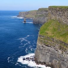
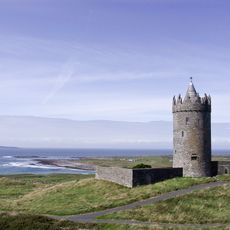
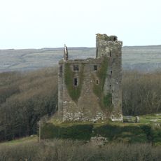
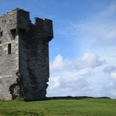
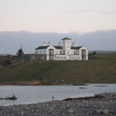
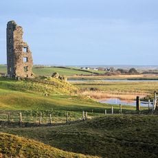
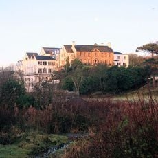
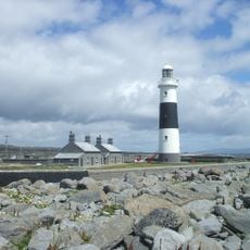
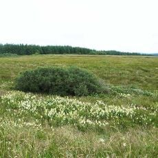
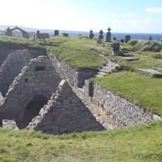
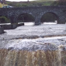
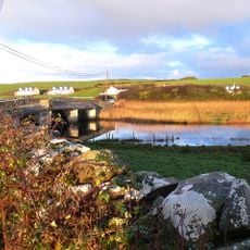
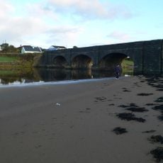
Kilmacrehy is a civil parish on the western coast of Clare with extensive pasture and farmland that reaches toward Liscannor Bay. Two ruined medieval castles stand within its boundaries, one in the Dough area and another near Liscannor.

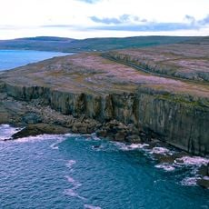
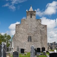
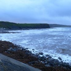
The area developed as a parish during Ireland's Christian period and became an established rural settlement focused on farming. It witnessed a dramatic moment in 1588 when Spanish Armada ships met their end along its coastline.

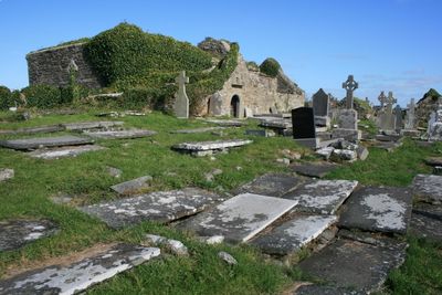
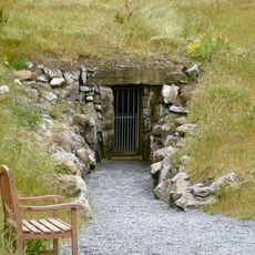
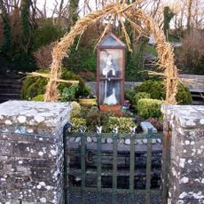
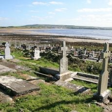
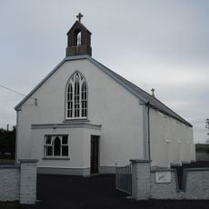
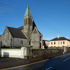
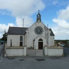
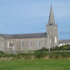
The name derives from an early Christian saint, and the area was long a focus of local religious devotion. People traditionally gathered at a holy well to seek spiritual comfort and healing through age-old practices.

Exploring the area is best done by allowing time to visit the scattered ruins on foot, as they are spread across the parish landscape. Visitors should prepare for countryside conditions with sturdy footwear and layers, since weather changes quickly along the western coast.

The coastline holds a powerful connection to European maritime drama, as multiple Spanish vessels wrecked here in 1588 after surviving Atlantic storms. Those fateful events left marks on local memory and stories that still circulate among residents and visitors.

The community of curious travelers

AroundUs brings together thousands of curated places, local tips, and hidden gems, enriched daily by 60,000 contributors worldwide.

Start exploring
Location
West Clare Municipal District
GPS coordinates
52.96066,-9.40696
Latest update
December 14, 2025 13:06
« Kilmacrehy - Civil parish in West Clare Municipal District, Ireland » is provided by Around Us (aroundus.com). Images and texts are derived from Wikimedia project under a Creative Commons license. You are allowed to copy, distribute, and modify copies of this page, under the conditions set by the license, as long as this note is clearly visible.

Discover hidden gems everywhere you go!

From secret cafés to breathtaking viewpoints, skip the crowded tourist spots and find places that match your style. Our app makes it easy with voice search, smart filtering, route optimization, and insider tips from travelers worldwide. Download now for the complete mobile experience.

Around Us App Screenshot

A unique approach to discovering new places

Le Figaro

All the places worth exploring

France Info

A tailor-made excursion in just a few clicks

20 Minutes

Around Us
Travel Guide & Maps
Download

Send to your phone

QR Code
1

Open the camera app on your mobile.

2

Point at the QR code with your camera. A notification will appear.

3

Tap the notification to open the link.