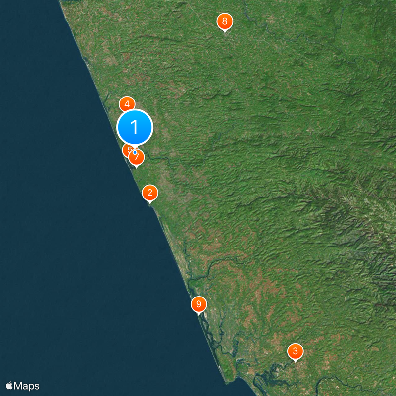
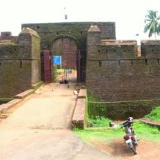
Kasaragod district, Administrative district in Kerala, India
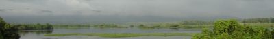
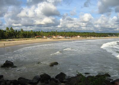
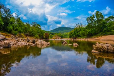
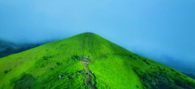
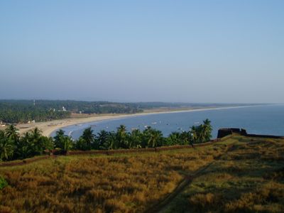
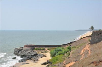
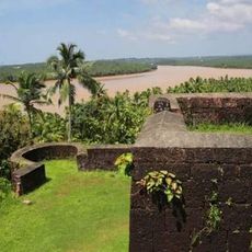
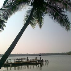
Kasaragod is an administrative district in northern Kerala that runs along the Arabian Sea. The area is crossed by many rivers flowing from the hills to the coast, and the landscape shifts between coastal strips, rice paddies, and forested hills inland.
The government of Kerala created the district on May 24, 1984, when it was separated from the former Kannur district. The region had previously been part of different historical domains before coming under unified administration during British colonial rule.
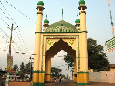
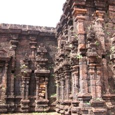
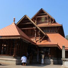
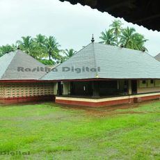
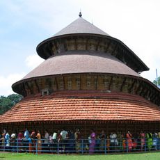
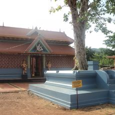
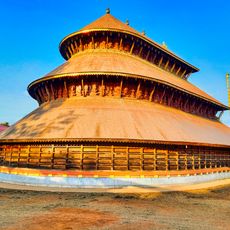
The district sits at the border between Kerala and Karnataka, so you can hear Tulu and Kannada spoken alongside Malayalam in daily life. This linguistic diversity shows in the place names, temple festivals, and local food, which blends influences from both states.
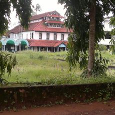
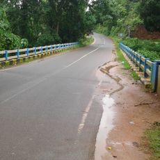
The town of Kasaragod serves as the administrative seat and can be reached via National Highway 66 and the Mangalore-Shoranur railway line. The terrain is flat along the coast and becomes hillier inland, so some areas may be harder to access during the monsoon season.
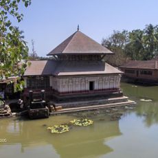
The district holds more rivers than any other in Kerala, with the Chandragiri stretching about 105 kilometers as the longest. Many of these waterways flow directly into the Arabian Sea, forming small lagoons and sandbars at their mouths.
Location: Kerala
Inception: May 24, 1984
Founders: Government of Kerala
Capital city: Kasaragod
Shares border with: Kannur district, Dakshina Kannada district, Kodagu district
Website: https://kasargod.gov.in
GPS coordinates: 12.50000,75.00000
Latest update: December 13, 2025 16:19
Bekal Fort
12.5 km
Rajarajeshwara Temple
63.4 km
Ananthapura Lake Temple
9.6 km
Malik Dinar Mosque
2.1 kmMadhur Temple
6.1 km
Chandragiri Fort
3.4 km
Puttur Shree Mahalingeshwara Temple
36.5 km
Valiyaparamba Grama Panchayat
41.8 km
Kunhimangalam Grama Panchayat
53.1 km
Sree Madiyan Koolom Temple
18.7 kmSri Gopalakrishna Temple Kumble
12.3 km
Madhur
0 m
Arikady Fort
14.5 km
Cheruthazham Grama Panchayat
54.7 km
Ajanur Grama Panchayat
20.3 km
Posadigumpe
20.3 kmKanila Shree Bhagavathi Temple
26 kmAltharakkal Sree Muthappan Madapura
18.9 km
Sri Laxmi Venkatesh Temple
23.7 km
Delampady Grama Panchayat
32.4 kmKapalikkulangara Sree Mahavishnu Temple
63.1 kmAila Durga Parameswari Temple
19.9 km
Belur siva temple
24.6 km
Mahalingeshwara Temple, Adoor Kasaragod
27.5 km
Al Maqar Central Library
62.7 kmChembirika rocks and beach
5.6 kmKanwathirtha beach
30.5 kmKumbla Fort
13.1 kmVisited this place? Tap the stars to rate it and share your experience / photos with the community! Try now! You can cancel it anytime.
Discover hidden gems everywhere you go!
From secret cafés to breathtaking viewpoints, skip the crowded tourist spots and find places that match your style. Our app makes it easy with voice search, smart filtering, route optimization, and insider tips from travelers worldwide. Download now for the complete mobile experience.
A unique approach to discovering new places❞
— Le Figaro
All the places worth exploring❞
— France Info
A tailor-made excursion in just a few clicks❞
— 20 Minutes