Valiyaparamba Grama Panchayat, Gram panchayat in Kasaragod district, India
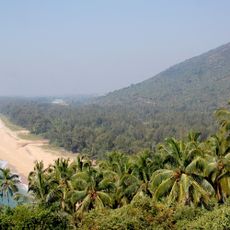
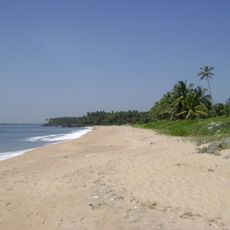
Valiyaparamba is a gram panchayat along the coast of Kasaragod district that runs as a narrow strip facing the Arabian Sea. The landscape is dominated by water, with the ocean on one side and lagoons nearby.
The panchayat developed as part of Kasaragod's coastal settlement pattern, shaped by trade routes and maritime activity over centuries. It became established as an administrative unit within the modern governance structure of Kerala.
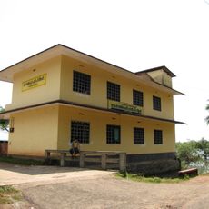
Valiyaparamba is a Malayalam-speaking island in Kasaragod district, separated from the mainland by the Kavvayi backwater. Its residents live mainly from fishing and agriculture, and the panchayat is divided into 13 wards, each represented by an elected member. The island's seven primary schools and one higher secondary school serve its scattered settlements.
The area operates under coastal regulations that restrict certain construction and development activities near water bodies. Visitors should be aware that access to some parts of the shoreline may be limited.
The island is separated from the mainland by the Kavvayi Backwater, but it can be reached by the Mavila Kadappuram bridge at its northern end or the Valiyaparamba edayilekad bridge at its southern end. A National Waterway also passes through the island, and the nearest railway station is Trikarpurzhikode, about 5 km away.
The community of curious travelers
AroundUs brings together thousands of curated places, local tips, and hidden gems, enriched daily by 93,234 contributors worldwide.