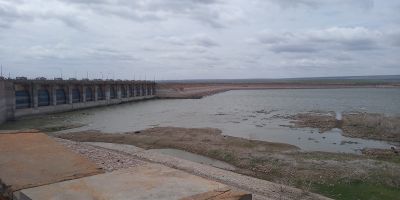
Mylavaram mandal, Administrative division in YSR district, Andhra Pradesh, India.
Mylavaram mandal serves as an administrative territorial entity within YSR district of Andhra Pradesh, functioning as a local governance unit that oversees multiple villages and rural settlements in the southeastern region of India.
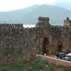
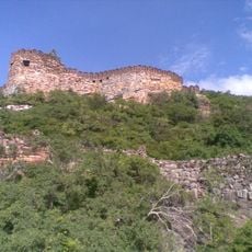
The mandal has evolved through various administrative reorganizations over centuries, reflecting the changing political landscape of Andhra Pradesh and serving as part of different dynastic expansions that shaped regional governance structures.
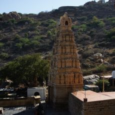
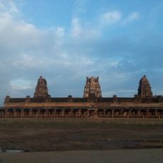
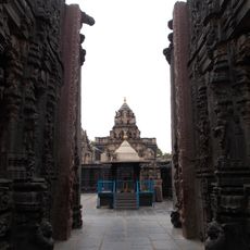
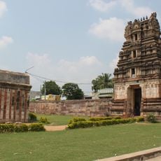
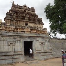
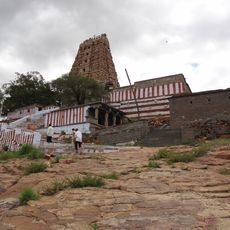
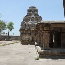
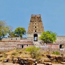
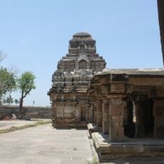
Local communities celebrate traditional Telugu festivals and agricultural ceremonies throughout the year, with temples and community gatherings playing central roles in preserving regional customs and fostering social cohesion among residents.
Government offices located at the mandal headquarters provide essential services including health clinics, banking facilities, and rural development programs to support the daily administrative needs of local residents and farmers.
The mandal functions as both an administrative unit and a cultural bridge between rural traditions and modern governance, maintaining its agricultural character while adapting to contemporary development initiatives.
Location: YSR district
Capital city: Mylavaram
Address: Mylavaram, Andhra Pradesh, India
GPS coordinates: 14.85500,78.33300
Latest update: October 6, 2025 11:11
Belum Caves
36.4 km
Yaganti Temple
59 km
Thimmamma Marrimanu
92.1 km
Sri Kodandrama Swamy Temple, Vontimitta
90.7 km
Chowdeshwari Temple at Nandavaram
58 km
Orvakal Rock Garden, Kurnool
95.1 km
Bugga Ramalingeswara temple
35.5 km
Gooty Fort
78.9 km
Pushpagiri Group of Temples
54.4 km
Sri Ranganathaswamy Temple
103.8 km
Galeru Nagari Sujala Sravanthi Project
10.4 km
Chintala Venkataramana Temple, Tadipatri
35.2 km
Anantapur clock tower
81.6 km
Bhairavakonda Caves
96.9 km
Laxminarsimha Swamy temple, Kadiri
85.2 km
Athirala parasurama temple
112.4 km
Abdul Wahab Khan's Tomb
112.5 km
Sri Lakshmi Narasimha Swamy Temple, Ahobilam
48 km
Yaganti Caves
59 km
Siddavatam Fort
80.5 km
Saumyanatha temple
106.9 km
Gandikota Fort
6.7 km
Bhimeshwara swamy temple
54 km
Udayagiri Fort
101.4 km
Vaidhyanadha swamy temple
54 km
Indranadheshwara swamy temple
53.6 km
Chennakesava Temple, Pushpagiri
54.4 km
Indranatha Temple, Pushpagiri
53.6 kmVisited this place? Tap the stars to rate it and share your experience / photos with the community! Try now! You can cancel it anytime.
Discover hidden gems everywhere you go!
From secret cafés to breathtaking viewpoints, skip the crowded tourist spots and find places that match your style. Our app makes it easy with voice search, smart filtering, route optimization, and insider tips from travelers worldwide. Download now for the complete mobile experience.
A unique approach to discovering new places❞
— Le Figaro
All the places worth exploring❞
— France Info
A tailor-made excursion in just a few clicks❞
— 20 Minutes