Enable Location

We need your location to show you interesting places around you

Discover nearby places

Find interesting locations and hidden gems around you

Precise directions

Get accurate directions and distances to places

Your location is never shared with other users. It's only used when you tap the location button.

Log in to your account

Start exploring — it's free

Trusted by 63,092 travelers worldwide

Continue with Google
Continue with Apple
or

We will send you a code to connect

By continuing, you accept our Terms and Conditions and our Privacy Policy

Check your inbox

We've sent a pincode in your inbox. Please enter the code below.

Agali mandal
Discussion Reviews Photo
3.6k Popularity

Agali mandal, Administrative division in Sri Sathya Sai district, India

Agali mandal is an administrative region in Sri Sathya Sai district that contains eight settlements spread across elevated terrain at 636 meters above sea level. The area is home to approximately 36,000 residents distributed across multiple connected villages with postal code 515311 and telephone code 08493.

The territory originally belonged to Anantapur district until 2022, when administrative boundaries changed and the newly formed Sri Sathya Sai district was created. This reorganization reflected larger changes in how the state structured its regional governance.

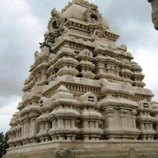
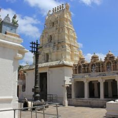
Telugu is spoken by residents who follow traditional customs common in rural Andhra Pradesh communities. Daily life here centers on agricultural practices and the social rhythms that connect neighboring villages together.

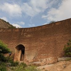
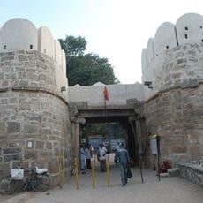
Bus routes connect the villages to neighboring districts, making travel between settlements relatively straightforward for visitors. The region sits on elevated terrain, so visitors should expect varying road conditions and plan for flexible timing when exploring rural settlements.

Hulikeradevarahalli is one of the eight villages and ranks among the least populated settlements in the region. This smaller community offers insight into less-visited areas away from typical travel routes.

The community of curious travelers

AroundUs brings together thousands of curated places, local tips, and hidden gems, enriched daily by 60,000 contributors worldwide.

Start exploring
Capital city
Agali
GPS coordinates
13.78400,77.05500
Latest update
December 12, 2025 07:51
Reviews
Share your experience

No review yet

Discussions
Start a discussion...

No discussion yet

« Agali mandal - Administrative division in Sri Sathya Sai district, India » is provided by Around Us (aroundus.com). Images and texts are derived from Wikimedia project under a Creative Commons license. You are allowed to copy, distribute, and modify copies of this page, under the conditions set by the license, as long as this note is clearly visible.

Discover hidden gems everywhere you go!

From secret cafés to breathtaking viewpoints, skip the crowded tourist spots and find places that match your style. Our app makes it easy with voice search, smart filtering, route optimization, and insider tips from travelers worldwide. Download now for the complete mobile experience.

Around Us App Screenshot

A unique approach to discovering new places

Le Figaro

All the places worth exploring

France Info

A tailor-made excursion in just a few clicks

20 Minutes

Around Us
Travel Guide & Maps
Download

Send to your phone

QR Code
1

Open the camera app on your mobile.

2

Point at the QR code with your camera. A notification will appear.

3

Tap the notification to open the link.