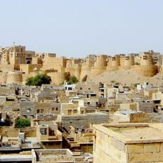
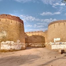
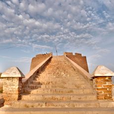
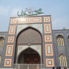
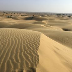
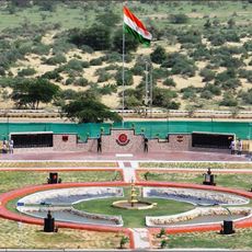
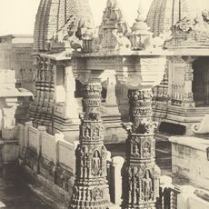
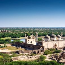
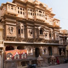
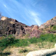
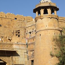
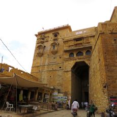
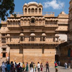
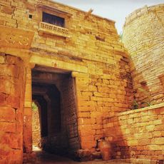
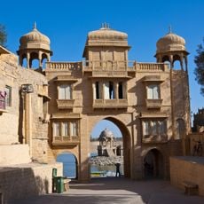
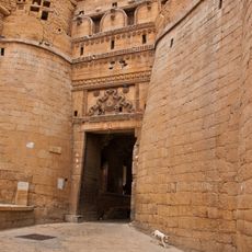
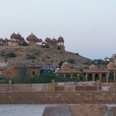
Jaisalmer tehsil, Tehsil in Rajasthan
Location: Jaisalmer district
Capital city: Jaisalmer
GPS coordinates: 26.90358,70.85971
Latest update: March 4, 2025 22:42
Jaisalmer Fort
5.3 km
Derawar Fort
212.7 km
Desert National Park
73.7 km
Sachiya Mata Temple
176.2 km
Nakodaji
179 km
Kiradu temples
130.2 km
Umarkot Fort
205 km
Shiv Mandir, Umerkot
205 km
Bhong Mosque
193.3 km
Jaisalmer War Museum
16.9 km
Mahavira Jain temple
202.9 km
Jaisalmer TV Tower
64.3 km
Abbasi Mosque
212.7 km
Shadani Darbar
177.8 km
Archaeological Museum Umerkot
205 km
Dewatu
162.3 km
Kalka Cave Temple
207.1 km
Islam Garh Fort
106 km
Nathmal ki Haveli
5.4 km
Sam sand dunes
33 km
Siwana Fort
208.8 km
Bairisal Borj
5.4 km
Hawa Prol
5.4 km
Jaisalmer Fort Palace Museum
5.4 km
Ganesh Prol
5.4 km
Teelon ki Prol
6.1 km
Surya Gate
5.4 km
Vyas Chhatri Cenotaphs
5.1 kmReviews
Visited this place? Tap the stars to rate it and share your experience / photos with the community! Try now! You can cancel it anytime.
Discover hidden gems everywhere you go!
From secret cafés to breathtaking viewpoints, skip the crowded tourist spots and find places that match your style. Our app makes it easy with voice search, smart filtering, route optimization, and insider tips from travelers worldwide. Download now for the complete mobile experience.
A unique approach to discovering new places❞
— Le Figaro
All the places worth exploring❞
— France Info
A tailor-made excursion in just a few clicks❞
— 20 Minutes