Enable Location

We need your location to show you interesting places around you

Discover nearby places

Find interesting locations and hidden gems around you

Precise directions

Get accurate directions and distances to places

Your location is never shared with other users. It's only used when you tap the location button.

Pievepelago

Log in to your account

Start exploring — it's free

Trusted by 63,831 travelers worldwide

Continue with Google
Continue with Apple
or

We will send you a code to connect

By continuing, you accept our Terms and Conditions and our Privacy Policy

Check your inbox

We've sent a pincode in your inbox. Please enter the code below.

Discussion Reviews 1 Photos
16.6k Popularity

Pievepelago, Italian comune

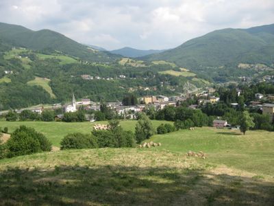
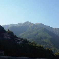
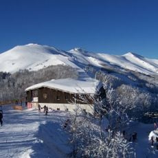
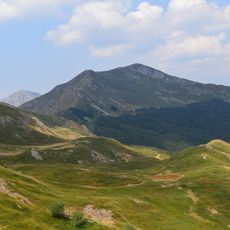
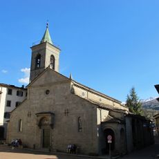
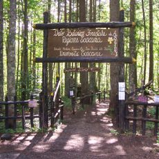
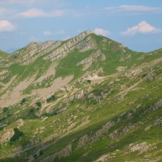
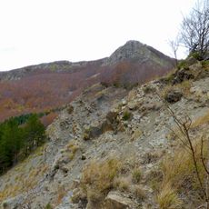
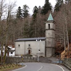
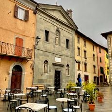
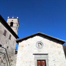
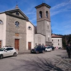
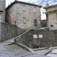
Pievepelago is a small town nestled in the Apennine Mountains of Modena Province, surrounded by forests and green hills with narrow streets and old stone buildings. Located at about 2,560 feet (781 meters) elevation within the Frignano Regional Park, it provides access to mountain lakes, hiking trails, and ski slopes throughout the seasons.

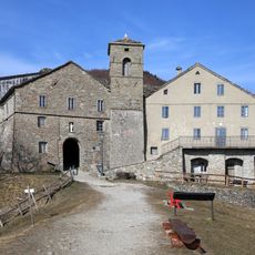
Pievepelago emerged several centuries ago and developed as a living mountain community rooted in pastoral and agricultural traditions. Nearby medieval sites include Roccapelago Castle and the Pelago Fortress, where archaeologists discovered ancient artifacts and well-preserved mummies that reveal the area's past settlements.

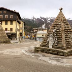
The town hosts the Infiorata festival, where residents create colorful flower carpets on the streets during the Corpus Domini Sunday procession. This annual celebration brings the community together and reflects local traditions that families pass down through generations.

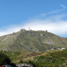
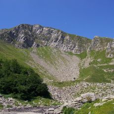
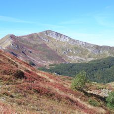
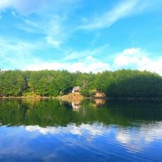
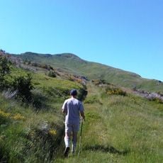
The town is easily reached via State Road 324 through Passo delle Radici and State Road 12 through Passo dell'Abetone, which connect to neighboring regions. It serves as a practical base for hikes to Lago Santo and surrounding peaks via marked trails through chestnut, beech, and pine forests that require varying fitness levels.

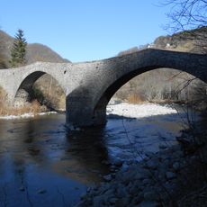
The Pelago Fortress contains archaeological remains and well-preserved mummies studied by the Istituto di Mummificazione, offering unexpected insights into the region's settlement patterns. The nearby Ponte della Fola, an early medieval bridge, reveals craftsmanship details from this remote mountain era.

The community of curious travelers

AroundUs brings together thousands of curated places, local tips, and hidden gems, enriched daily by 60,000 contributors worldwide.

Start exploring
Capital city
Pievepelago
Elevation above the sea
701 m
Shares border with
Castiglione di Garfagnana, Fiumalbo, Frassinoro, Pieve Fosciana, Riolunato, Barga, Coreglia Antelminelli, Fosciandora
GPS coordinates
44.21256,10.61739
Latest update
February 17, 2026 02:01
Reviews
Share your experience

No review yet

Discussions
Start a discussion...

No discussion yet

« Pievepelago - Italian comune » is provided by Around Us (aroundus.com). Images and texts are derived from Wikimedia project under a Creative Commons license. You are allowed to copy, distribute, and modify copies of this page, under the conditions set by the license, as long as this note is clearly visible.

Discover hidden gems everywhere you go!

From secret cafés to breathtaking viewpoints, skip the crowded tourist spots and find places that match your style. Our app makes it easy with voice search, smart filtering, route optimization, and insider tips from travelers worldwide. Download now for the complete mobile experience.

Around Us App Screenshot

A unique approach to discovering new places

Le Figaro

All the places worth exploring

France Info

A tailor-made excursion in just a few clicks

20 Minutes

Around Us
Travel Guide & Maps
Download

Send to your phone

QR Code
1

Open the camera app on your mobile.

2

Point at the QR code with your camera. A notification will appear.

3

Tap the notification to open the link.