Nerola, Italian comune
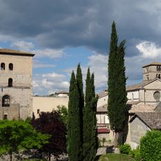
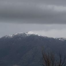
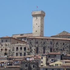
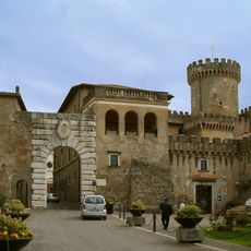
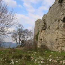
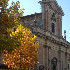
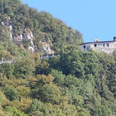
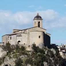
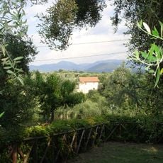
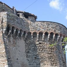
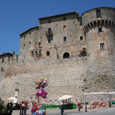
Nerola is a small town in the Metropolitan City of Rome, situated on a hilltop in the northwestern Monti Lucretili range. It features narrow, winding cobblestone streets lined with old stone houses built close together, creating a cozy atmosphere, while the Castello Orsini fortress stands prominently on the hill overlooking the settlement.
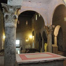
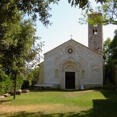
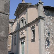
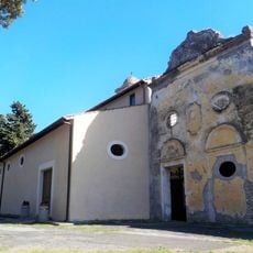
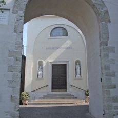
Nerola was founded around 1000 when the noble Crescenzi family built the castle, which was later taken over by the Orsini family who added towers and walls for reinforcement. The parish church of San Giorgio Martire was built in the late 1400s and underwent careful restoration in 1924 after a fire in the early 1900s.
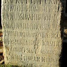
Nerola's name likely has ancient roots, possibly derived from a Sabine word or connected to Roman history. Residents live by traditional rhythms and keep local customs alive through street gatherings and shared meals, where regional dishes like homemade pasta and Sabina olive oil play a central role in community life.
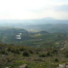
Nerola lies about 50 minutes by car from Rome and is accessible via the Tangenziale Est and Via Salaria, with the journey passing through countryside and small villages. The town is small and walkable on foot, with modest accommodations such as the Castello hotel or the agriturismo Il Bagolaro that visitors can choose for a peaceful stay.
An old legend links Nerola's name to the Roman emperor Nero or a Sabine word meaning strength, with a silver medallion in the town preserving these stories. Additionally, simple local foods such as fried flatbread sprinkled with sugar or salt and a rare sour cherry liqueur called Ravenna della Sabina are offered, which visitors often take home as souvenirs.
The community of curious travelers
AroundUs brings together thousands of curated places, local tips, and hidden gems, enriched daily by 60,000 contributors worldwide.