
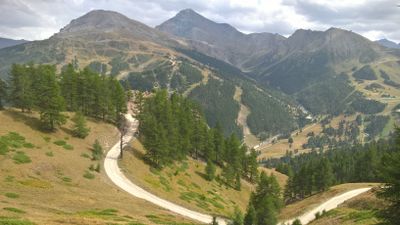
Col Basset, area protetta in provincia di Torino
Location: Metropolitan City of Turin
Part of: Natura 2000
GPS coordinates: 44.98222,6.87444
Latest update: March 10, 2025 03:29
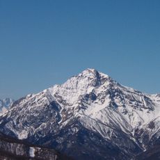
Mont Chaberton
9.9 km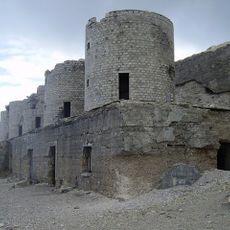
Fort of Mount Chaberton
9.9 km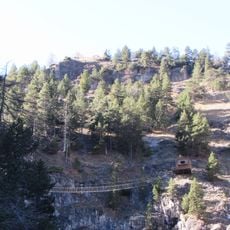
Ponte tibetano Cesana Claviere
9.9 km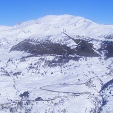
Monte Fraiteve
1.2 km
Monte Albergian
9.7 km
Forte Pramand
9.6 km
Cima del Bosco
6.7 km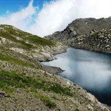
Parco naturale Val Troncea
9.4 km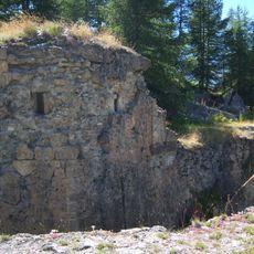
Forte di Champlas Séguin
5.2 km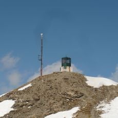
Monte Genevris
5.8 km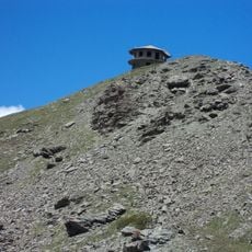
Monte Sises
4.6 km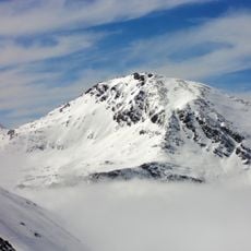
Bric di Mezzogiorno
8.6 km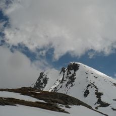
Bric Ghinivert
9.8 km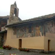
Cappella di Sant'Antonio abate
5 km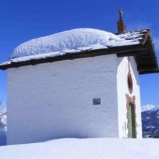
Monte Cotolivier
7.2 km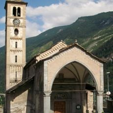
Chiesa di San Giovanni Battista (Salbertrand)
10 km
Roc del Boucher
9.8 km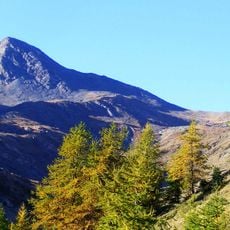
Fea Nera
9.9 km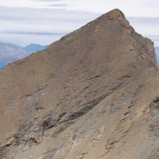
Monte Platasse
8.5 km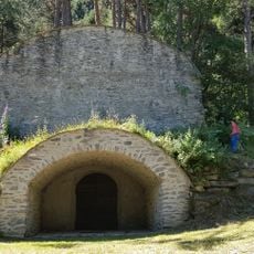
Ghiacciaia
8.9 km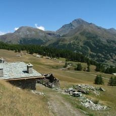
Monte Motta
4.9 km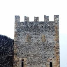
Torre
6.2 km
Riserva naturale dello Stagno di Oulx
7.5 km
Museo del costume tradizionale delle genti alpine
6.5 km
Town hall of Cesana Torinese
7.1 km
Chiesa di San Gregorio
9.7 km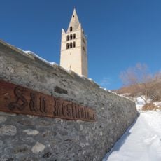
Chiesa di San Restituto
4.9 km
ICE Pragelato Circuit
6.7 kmReviews
Visited this place? Tap the stars to rate it and share your experience / photos with the community! Try now! You can cancel it anytime.
Discover hidden gems everywhere you go!
From secret cafés to breathtaking viewpoints, skip the crowded tourist spots and find places that match your style. Our app makes it easy with voice search, smart filtering, route optimization, and insider tips from travelers worldwide. Download now for the complete mobile experience.

A unique approach to discovering new places❞
— Le Figaro
All the places worth exploring❞
— France Info
A tailor-made excursion in just a few clicks❞
— 20 Minutes