Mount Kunimi, mountain in Matsusaka, Mie and Higashiyoshino, Nara Prefecture, Japan
Location: Nara Prefecture
Location: Higashiyoshino
Location: Mie Prefecture
Location: Matsusaka
Elevation above the sea: 1,419 m
Part of: Nara 100 Mountains
GPS coordinates: 34.37581,136.08670
Latest update: March 3, 2025 14:45
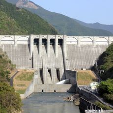
Otaki Dam
14.2 km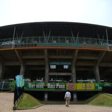
Kagawa Prefectural Baseball Complex
11.7 km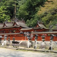
Uda Mikumari Shrine
15.3 km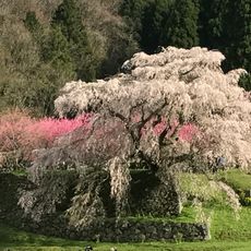
Matabei-zakura
19 km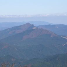
Mount Kuroso
18.9 km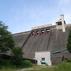
Tsuburo Dam
18.2 km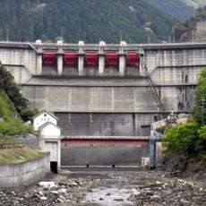
Ōsako Dam
13.2 km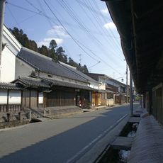
Matsuyama
18.3 km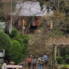
Butsuryū-ji
17.1 km
大藏寺 (宇陀市)
16.6 km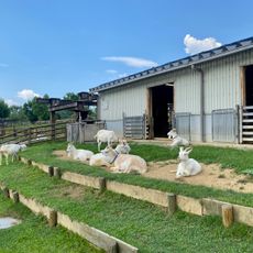
Uda Animal Park
18.9 km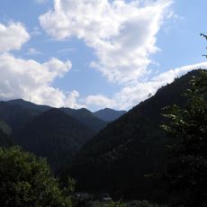
Mount Aonegamine
18.7 km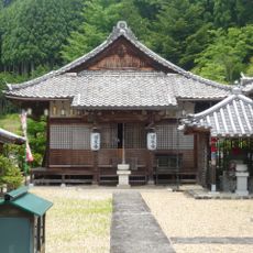
Sugyō-ji
18.9 km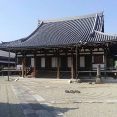
慶恩寺
18.7 km
Mita-Osawa Kofun Group
15.6 km
Komagaeri Haiji
13.8 km
Taniwaki Kofun
16.5 km
Fudozuka Kofun
14.3 km
川上村立図書館
12.7 km
Myōkaku-ji
16 km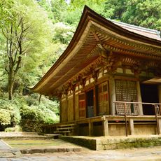
Murō-ji
18.5 km
ホテル杉の湯
12.9 km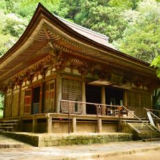
Main Hall, Murouji
18.5 km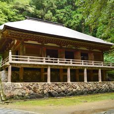
Golden Hall, Murouji
18.5 km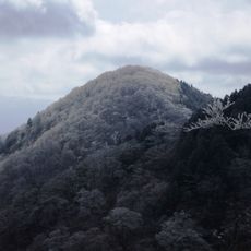
Mount Azami
2.6 km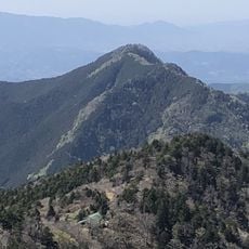
Mount Ōtenjō
18.8 km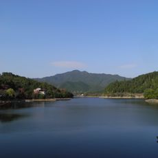
Lake Tsuburo
17.2 km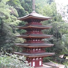
Five-storied Pagoda, Murouji
18.6 kmReviews
Visited this place? Tap the stars to rate it and share your experience / photos with the community! Try now! You can cancel it anytime.
Discover hidden gems everywhere you go!
From secret cafés to breathtaking viewpoints, skip the crowded tourist spots and find places that match your style. Our app makes it easy with voice search, smart filtering, route optimization, and insider tips from travelers worldwide. Download now for the complete mobile experience.

A unique approach to discovering new places❞
— Le Figaro
All the places worth exploring❞
— France Info
A tailor-made excursion in just a few clicks❞
— 20 Minutes