Enable Location

We need your location to show you interesting places around you

Discover nearby places

Find interesting locations and hidden gems around you

Precise directions

Get accurate directions and distances to places

Your location is never shared with other users. It's only used when you tap the location button.

Uemachi Plateau

Log in to your account

Start exploring — it's free

Trusted by 61,351 travelers worldwide

Continue with Google
Continue with Apple
or

We will send you a code to connect

By continuing, you accept our Terms and Conditions and our Privacy Policy

Check your inbox

We've sent a pincode in your inbox. Please enter the code below.

Uemachi Plateau

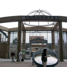
Uemachi Plateau, Diluvial upland in central Osaka, Japan

Description

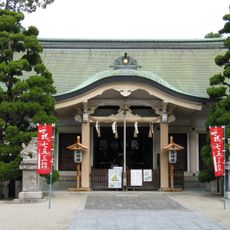
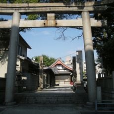
The Uemachi Plateau is a natural elevation in central Osaka that runs from Osaka Castle through the Tenmabashi district to Tennoji. The western side drops steeply with several walking paths including Shingonzaka, Jizozaka, and Genshojizaka, while the eastern side features gentler slopes.

History

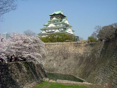
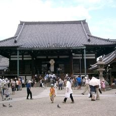
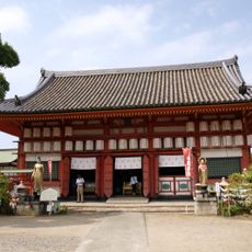
Geological studies show that the plateau began forming as a sandbank in the 5th century, separating the Inland Sea from Kawachi Bay. A 7th-century palace once occupied the highest point where Osaka Castle's main tower now stands.

Culture

The neighborhoods of Higashinari and Nishinari take their names from their position relative to this elevated area, with names meaning East Becoming and West Becoming. These place names shape how people think about directions in the city today.

Practical

The western slope offers numerous footpaths with varying steepness, while the eastern side is more accessible with gentler routes. Visitors should prepare for different levels of physical exertion depending on which direction they approach the plateau.

Did you know?

The highest point reaches about 38 meters above sea level at the base of Osaka Castle's main tower. This location once held the Naniwa Palace from the 7th century, marking an early center of Japanese rule.

Location
GPS coordinates
34.65000,135.51667
Latest update
December 19, 2025 22:21

AroundUs brings together thousands of curated places, local tips, and hidden gems, enriched daily by 60,000 contributors worldwide. Discover all places nearby (Osaka).

« Uemachi Plateau - Diluvial upland in central Osaka, Japan » is provided by Around Us (aroundus.com). Images and texts are derived from Wikimedia project under a Creative Commons license. You are allowed to copy, distribute, and modify copies of this page, under the conditions set by the license, as long as this note is clearly visible.

Discover hidden gems everywhere you go!

From secret cafés to breathtaking viewpoints, skip the crowded tourist spots and find places that match your style. Our app makes it easy with voice search, smart filtering, route optimization, and insider tips from travelers worldwide. Download now for the complete mobile experience.

Around Us App Screenshot

A unique approach to discovering new places

Le Figaro

All the places worth exploring

France Info

A tailor-made excursion in just a few clicks

20 Minutes

Around Us
Travel Guide & Maps
Download

Send to your phone

QR Code
1

Open the camera app on your mobile.

2

Point at the QR code with your camera. A notification will appear.

3

Tap the notification to open the link.