
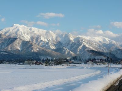
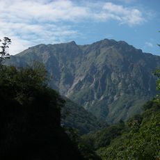
Mount Warimeki, Berg in Japan
Location: Minamiuonuma
Elevation above the sea: 1,930.9 m
GPS coordinates: 36.98298,138.95474
Latest update: March 11, 2025 08:36
Mount Tanigawa
16.4 km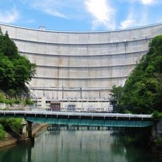
Yagisawa Dam
12 km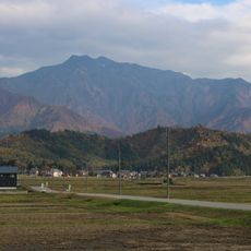
Mount Makihata
990 m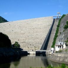
Naramata Dam
15.8 km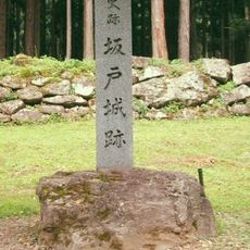
Sakado Castle
9.8 km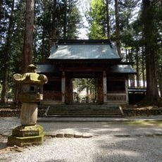
Untō-an
7.8 km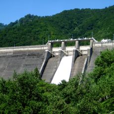
Sudagai Dam
15.9 km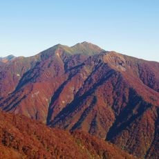
Mount Asahi
11.5 km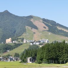
Mount Iiji
11.2 km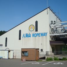
Hakkaisan Ropeway
15.2 km
Kankō-ji
14 km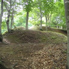
Arato Castle
16.7 km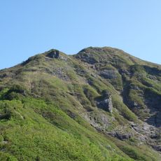
Mount Shiragamon
13.8 km
Minamiuonuma City Library
11.6 km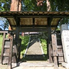
Yakushō-ji
13 km
Kikō-ji
7.5 km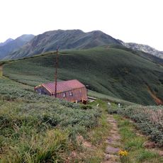
Mount Bunō
13.3 km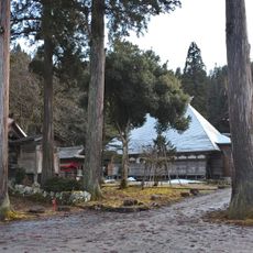
宝林寺
11 km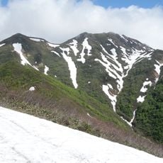
Kasaga Take
12.6 km
Eisho-an
9.5 km
龍泉院 (南魚沼市)
8.8 km
Mt. Adera
12.1 km
大福寺
7.4 km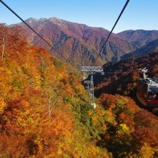
Tanigawadake Ropeway
17.3 km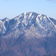
Nakanodake
15.8 km
Shiozawa Tsumugi Pavilion
11.4 km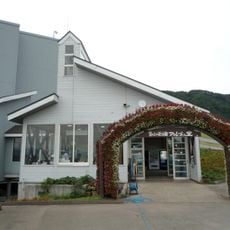
Yuzawa Kōgen Ropeway
14.8 km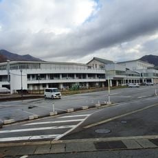
湯沢認定こども園
12.6 kmReviews
Visited this place? Tap the stars to rate it and share your experience / photos with the community! Try now! You can cancel it anytime.
Discover hidden gems everywhere you go!
From secret cafés to breathtaking viewpoints, skip the crowded tourist spots and find places that match your style. Our app makes it easy with voice search, smart filtering, route optimization, and insider tips from travelers worldwide. Download now for the complete mobile experience.

A unique approach to discovering new places❞
— Le Figaro
All the places worth exploring❞
— France Info
A tailor-made excursion in just a few clicks❞
— 20 Minutes