
Mount Ōhira, Berg in Japan
Location: Kamakura
Elevation above the sea: 159.4 m
GPS coordinates: 35.33753,139.57234
Latest update: May 5, 2025 17:45
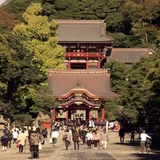
Tsurugaoka Hachiman-gū
1.9 km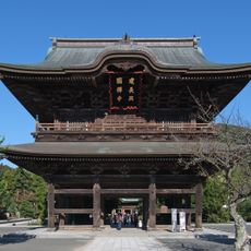
Kenchō-ji
1.7 km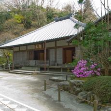
Meigetsu-in
1.9 km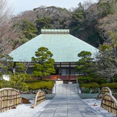
Jōmyō-ji
1.6 km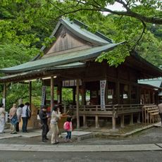
Kamakura-gū
1.4 km
Museum of Modern Art, Kamakura & Hayama
2.1 km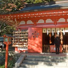
Egara Tenjinsha
1.5 km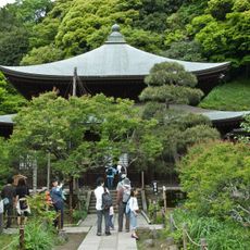
Zuisen-ji
1.2 km
Sugimoto-dera
1.7 km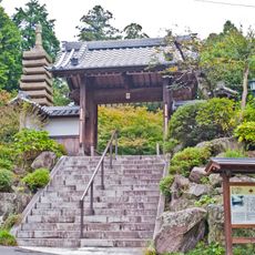
Kakuon-ji
998 m
Ennō-ji
1.9 km
Asaina Pass
2.2 km
Yōfuku-ji
1.1 km
Shōchōju-in
2 km
Kamakura Museum of National Treasures
2 km
Kobukurozaka
1.9 km
Chōju-ji
2.1 km
Shirahata-jinja
1.7 km
Myōō-in
2 km
杉本城 (相模国)
1.7 km
Kōsoku-ji
2.1 km
Tomb of Minamoto no Yoritomo
1.6 km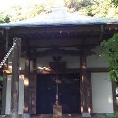
称名寺
851 m
Suigeikan
1.9 km
Yokohama City Archaeological Research Center
1.2 km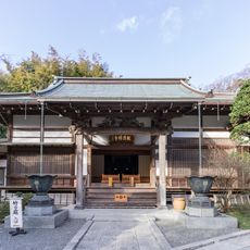
Hōkoku-ji
2 km
Hōkai-ji
2.1 km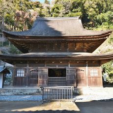
Shariden
2.1 kmReviews
Visited this place? Tap the stars to rate it and share your experience / photos with the community! Try now! You can cancel it anytime.
Discover hidden gems everywhere you go!
From secret cafés to breathtaking viewpoints, skip the crowded tourist spots and find places that match your style. Our app makes it easy with voice search, smart filtering, route optimization, and insider tips from travelers worldwide. Download now for the complete mobile experience.

A unique approach to discovering new places❞
— Le Figaro
All the places worth exploring❞
— France Info
A tailor-made excursion in just a few clicks❞
— 20 Minutes