
Honjō-chō, 鹿児島県鹿児島市の町丁
Location: Kagoshima
Elevation above the sea: 130 m
Shares border with: HigashiSata-chō, Nishisata-chō, Honmyō-chō, Miyanoura-chō
GPS coordinates: 31.71458,130.55814
Latest update: March 8, 2025 05:14
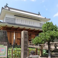
Kagoshima Castle
12.9 km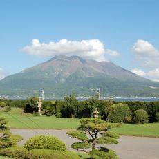
Sengan-en
11 km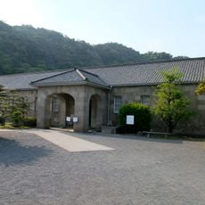
Shōko Shūseikan
11 km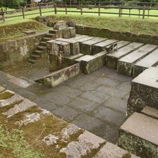
Shūseikan
10.9 km
蒲生之樟
5.8 km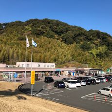
Sakurajima service area
5.6 km
Reimeikan, Kagoshima Prefectural Center for Historical Material
12.9 km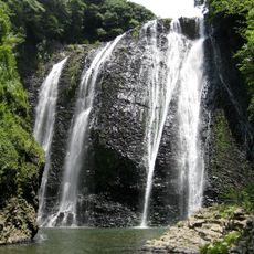
Ryumon Falls
11.3 km
Sekiyoshi Sluice Gate of Yoshino Leat
7.5 km
Shimizu Castle
11.1 km
Kagoshima Prefectural Library
13.1 km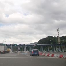
Kagoshima toll gate
6.2 km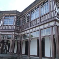
Kagoshima Spinning Mill
11.1 km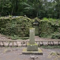
Terayama Charcoal Kiln
6.9 km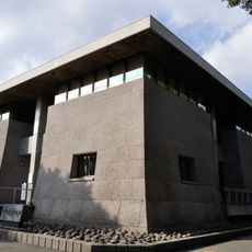
Saigō Nanshū Memorial Museum
12.1 km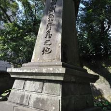
Place of Saigō Takamori's Death
12.6 km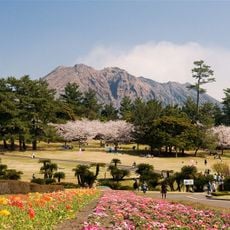
Kagoshima Prefectural Yoshino Park
9.7 km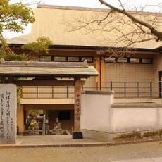
Jōkōmyō-ji
12.2 km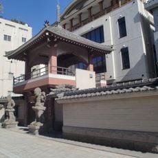
Fudankō-in
13.1 km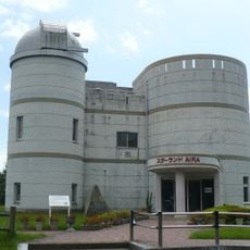
Star Land Aira
12.7 km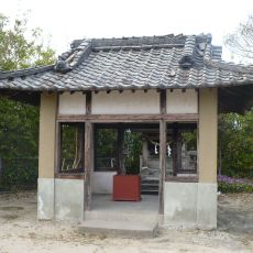
米山薬師 (姶良市)
7.5 km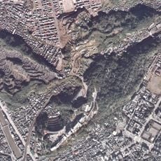
Mount Shiroyama
13.1 km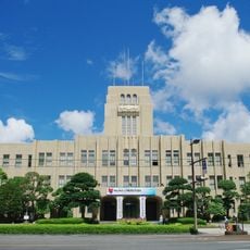
鹿児島市役所本庁舎
13.1 km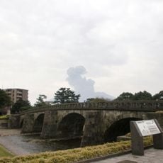
Ishibashi Park
12.3 km
鹿児島市役所みなと大通り別館
13.1 km
Yonemaru-Sumiyoshiike
7.1 km
Former Kagoshima spinning engineer's residence
11.1 km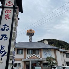
Ono-yu
11.7 kmReviews
Visited this place? Tap the stars to rate it and share your experience / photos with the community! Try now! You can cancel it anytime.
Discover hidden gems everywhere you go!
From secret cafés to breathtaking viewpoints, skip the crowded tourist spots and find places that match your style. Our app makes it easy with voice search, smart filtering, route optimization, and insider tips from travelers worldwide. Download now for the complete mobile experience.

A unique approach to discovering new places❞
— Le Figaro
All the places worth exploring❞
— France Info
A tailor-made excursion in just a few clicks❞
— 20 Minutes