Enable Location

We need your location to show you interesting places around you

Discover nearby places

Find interesting locations and hidden gems around you

Precise directions

Get accurate directions and distances to places

Your location is never shared with other users. It's only used when you tap the location button.

Mount Nagata

Log in to your account

Start exploring — it's free

Trusted by 66,742 travelers worldwide

Continue with Google
Continue with Apple
or

We will send you a code to connect

By continuing, you accept our Terms and Conditions and our Privacy Policy

Check your inbox

We've sent a pincode in your inbox. Please enter the code below.

Mount Nagata
Discussion Reviews 1 Photos
3.8k Popularity

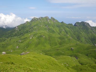
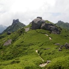
Mount Nagata, Mountain summit in Yakushima Island, Japan

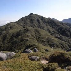
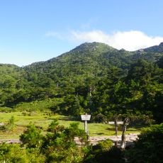
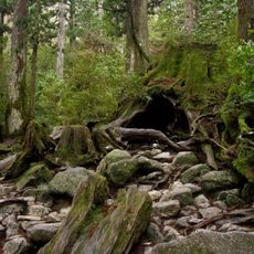
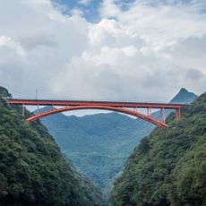
Mount Nagata is a summit on Yakushima Island, Japan, rising to about 1,886 ft (575 m) and covered in dense forest from base to top. The slopes are steep, and the vegetation shifts noticeably as you climb, moving from subtropical forest lower down to more open ground near the top.

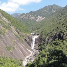
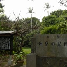
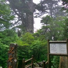
Yakushima was added to the UNESCO World Heritage list in 1993, making it Japan's first natural site to receive this status, and Mount Nagata sits within that protected area. The island's forests survived largely intact over the centuries because the terrain made large-scale use difficult.

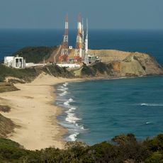
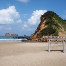
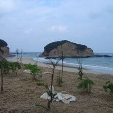
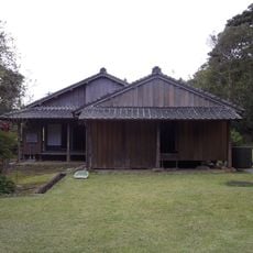
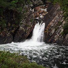
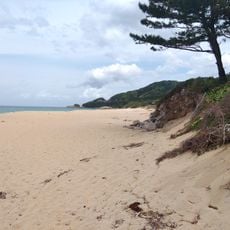
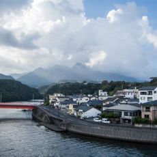
The name Nagata comes from the village at the foot of the mountain, which is known today for sea turtles nesting on nearby beaches. This link between the peak and the coast gives the area a character that sets it apart from the rest of the island.

Start early in the day since clouds tend to move in by late morning and can make the upper slopes harder to navigate. The paths are often wet even in dry weather, so waterproof footwear and an extra layer are worth bringing regardless of the forecast.

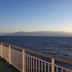
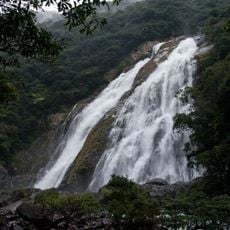
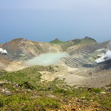
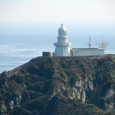
On clear days, the summit offers a direct view of the sea on the western side of the island, which is rare for a peak so often wrapped in cloud. This western face receives some of the highest rainfall recorded anywhere in Japan, making it one of the wettest spots in the country.

The community of curious travelers

AroundUs brings together thousands of curated places, local tips, and hidden gems, enriched daily by 60,000 contributors worldwide.

Start exploring
Location
Elevation above the sea
1,886 m
GPS coordinates
30.34292,130.49241
Latest update
March 3, 2026 14:02
Reviews
Share your experience

No review yet

Discussions
Start a discussion...

No discussion yet

« Mount Nagata - Mountain summit in Yakushima Island, Japan » is provided by Around Us (aroundus.com). Images and texts are derived from Wikimedia project under a Creative Commons license. You are allowed to copy, distribute, and modify copies of this page, under the conditions set by the license, as long as this note is clearly visible.

Discover hidden gems everywhere you go!

From secret cafés to breathtaking viewpoints, skip the crowded tourist spots and find places that match your style. Our app makes it easy with voice search, smart filtering, route optimization, and insider tips from travelers worldwide. Download now for the complete mobile experience.

Around Us App Screenshot

A unique approach to discovering new places

Le Figaro

All the places worth exploring

France Info

A tailor-made excursion in just a few clicks

20 Minutes

Around Us
Travel Guide & Maps
Download

Send to your phone

QR Code
1

Open the camera app on your mobile.

2

Point at the QR code with your camera. A notification will appear.

3

Tap the notification to open the link.