Shiretoko Pass, Mountain pass on National Route 334 in Rausu and Shari, Hokkaido, Japan
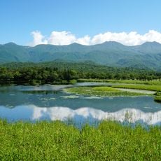
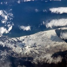
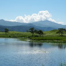
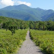
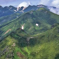
Shiretoko Pass is a mountain crossing that connects the western and eastern coasts of Shiretoko Peninsula at an elevation of 738 meters (2,423 feet). The road travels through forest and exposed highland terrain that shifts dramatically with the seasons.
In 1907 the head of Ubetsu village (now Rausu) and local volunteers surveyed a route from Iwaobetsu to Rausu. A footpath from Rausu to Utro was cut during the war, and in 1949 Mayor Murayama Goichi petitioned Hokkaido to open a road. Construction began in 1963, the road became National Route 334 in 1975, and it opened in 1980.
The pass sits on the boundary between Rausu and Shari, and the road is used for economic and cultural exchange between the two towns. Its clearing and opening each spring is a seasonal event reported across Hokkaido. The surrounding primeval forest is among the world's major brown bear habitats.
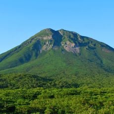
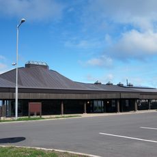
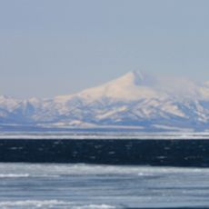
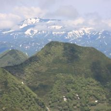
The 23.8 km section over the pass is closed in winter, generally from late October to late April, because of avalanche and landslide risk; this is the only national road in Hokkaido closed by snowfall. Snow-clearing work and the spring reopening are reported each year. The pass parking lot at the 738 m summit is the viewpoint for Mount Rausu and, in clear weather, Kunashiri Island.
The pass sits at 738 m on National Route 334, on the boundary between Rausu and Shari and between the Nemuro and Okhotsk subprefectures. Its snow-clearing work and the news of its reopening are a fixture of Hokkaido's spring. The hairpin bends on the Rausu side, below the summit at about 650 m, are known as Mikaeri Pass.
The community of curious travelers
AroundUs brings together thousands of curated places, local tips, and hidden gems, enriched daily by 93,456 contributors worldwide.