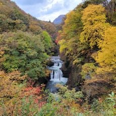
Funagata volcano, Stratovolcano on border of Yamagata and Miyagi Prefecture, Japan.
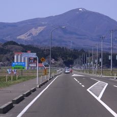
Funagata volcano is a stratovolcano on the border of Yamagata and Miyagi prefectures, made up of several peaks including Ushiroshirike, Mitsumine, and Izumigatake. The highest of these peaks reaches around 1500 meters, and together they form a broad mountain mass that spans both prefectures.
The volcano formed between the end of the Tertiary and the start of the Quaternary, at the same time as the Ou Mountains were rising. Those geological movements gradually shaped the whole group of peaks visible today.
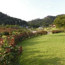
The mountain takes its name from its boat-shaped outline, visible from certain viewpoints in the surrounding valleys. In Yamagata Prefecture, many locals call it Mount Gosho, a name that feels more familiar to those who grew up near it.
The mountain can be approached from both the Yamagata and Miyagi sides, with trails leading to different peaks across the massif. Conditions change quickly at this elevation, so checking local trail reports before setting out is a good habit.
While the main peaks are made of andesite, Mount Kurohana is composed of pigeonite basalt, a rock type rarely found at the surface. This difference within the same volcanic system points to a more complex internal history than the mountain's outer appearance suggests.
The community of curious travelers
AroundUs brings together thousands of curated places, local tips, and hidden gems, enriched daily by 60,000 contributors worldwide.