Takurayama, Volcanic mountain in Hyogo Prefecture and Kyoto Prefecture, Japan
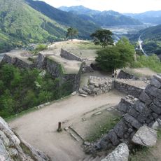
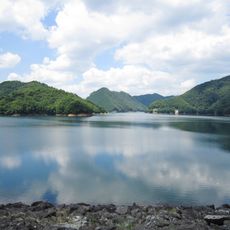
Takurayama is a volcanic mountain spanning the border between two prefectures and reaching approximately 350 meters in elevation. The area features several hiking trails of varying difficulty and offers different vantage points showing the surrounding landscape.
The mountain formed millions of years ago through volcanic activity and has marked the natural boundary between two regions ever since. Its geological past continues to shape the land and the character of the terrain today.
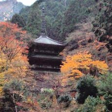
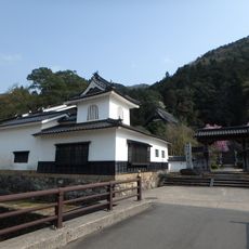
The mountain serves as a gathering place for people from surrounding communities who come to walk and enjoy the outdoors together. Visitors can observe how locals use the space across different seasons and connect with the natural landscape.
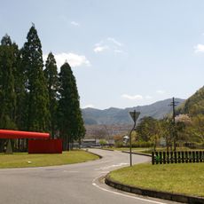
The hiking trails are accessible year-round and well-marked, allowing visitors to explore different routes with ease. Parking areas are located at the base, and viewing points are easily reached from the main paths.
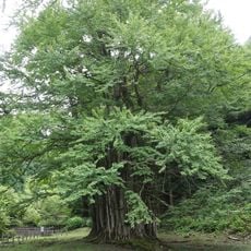
The volcanic rock and mineral-rich soil support specific plant species that depend on these particular conditions to thrive. This vegetation is especially visible during warmer months and demonstrates how the mountain's geology shapes nature.
The community of curious travelers
AroundUs brings together thousands of curated places, local tips, and hidden gems, enriched daily by 60,000 contributors worldwide.