Hanbeiga Taki, Wasserfall in Japan
Location: Kumamoto Prefecture
GPS coordinates: 32.40270,130.16760
Latest update: March 8, 2025 07:16

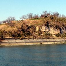
Hara Castle
26.5 km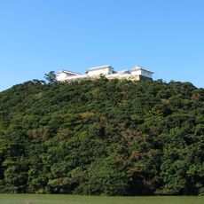
Tomioka Castle
19 km
Hinoe Castle
29.7 km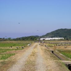
Izumi crane migration grounds
35 km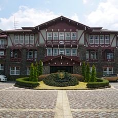
Unzen Kanko Hotel
38.3 km
Sashiki Castle
33.4 km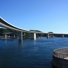
Ushibuka Haiya Bridge
27.1 km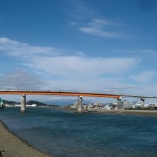
Amakusa Seto Bridge
6.1 km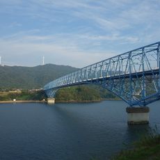
Kuronoseto Bridge
33 km
Nagasaki Subtropical Botanical Garden
40.4 km
Amakusa Christian Museum
6.6 km
Sakitsu Church
16.7 km
Hoshino Tomihiro Museum of Art・Ashikita
34.5 km
Unzen Shrine
38.8 km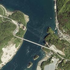
天城橋
35.9 km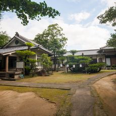
感応寺
38.5 km
Izumi-Fumoto
40.6 km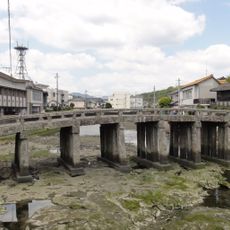
Gion Bridge
6.3 km
Manmyō-ji
38.7 km
Tsunagi Art Museum
33.3 km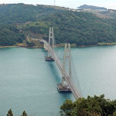
Ikara Bridge
20.6 km
Goshoura Cretaceous Museum
17.6 km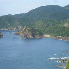
Myoken Bay
16.2 km
Ichijō-in
30.7 km
農園ガーデン空
40.3 km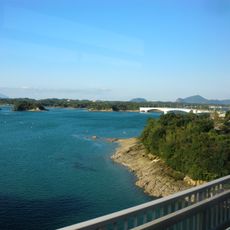
Maejima Bridge
27.9 km
Ōyano Bridge
28.7 km
Hinagu toll gate
38.6 kmReviews
Visited this place? Tap the stars to rate it and share your experience / photos with the community! Try now! You can cancel it anytime.
Discover hidden gems everywhere you go!
From secret cafés to breathtaking viewpoints, skip the crowded tourist spots and find places that match your style. Our app makes it easy with voice search, smart filtering, route optimization, and insider tips from travelers worldwide. Download now for the complete mobile experience.

A unique approach to discovering new places❞
— Le Figaro
All the places worth exploring❞
— France Info
A tailor-made excursion in just a few clicks❞
— 20 Minutes