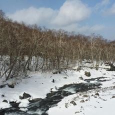
Siru-bong, Berggipfel in Nordkorea
Location: North Hamgyong Province
GPS coordinates: 41.12500,129.52111
Latest update: March 3, 2025 09:32
Baekdu Mountain
154.3 km
Fabricator
176.2 km
China–North Korea–Russia tripoint
171.2 km
Paektusan Secret Camp
140.1 km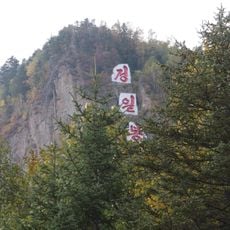
Jong-il Peak
140.5 km
Chilbosan
12.1 km
Pukkwan Victory Monument
46 km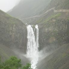
Changbai Waterfall
158.8 km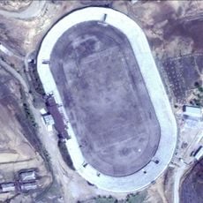
Kimchaek Municipal Stadium
56.2 km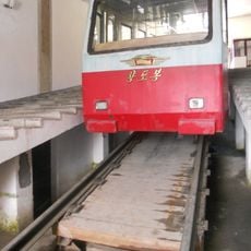
Mount Paektu Funicular
153.5 km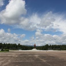
Samjiyon Revolutionary Battle Site
126 km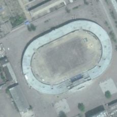
Chandongja Park
77.2 km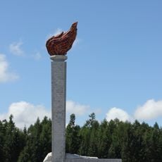
Torch tower
126 km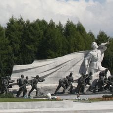
Statues of Grand Monument Samjiyon
126 km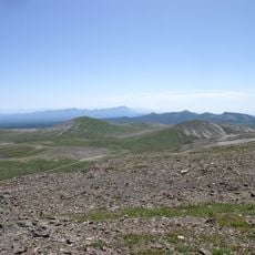
Changbaishan National Nature Reserve
157.1 km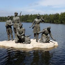
Statue to Guerrilla warfare, lake Samji
126.1 km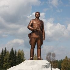
Statue of Kim Il-sung, Grand Monument Samjiyan
126.1 km
Onch'ŏn-jŏsuji
98.9 km
Pujŏn-ho
176.2 km
P'allyŏng-jŏsuji
20.3 km
Munang-jŏsuji
117.7 km
Sinyang-jŏsuji
88.2 km
Sohandae-chŏsuji
174.6 km
Sŏŏsuri-chosuji
175 km
Sach'op'yŏng-jŏsuji
108.2 km
P'ungsŏ-ho
130 km
Naejungni-jŏsuji
117 km
Mayang-jŏsuji
104.9 kmReviews
Visited this place? Tap the stars to rate it and share your experience / photos with the community! Try now! You can cancel it anytime.
Discover hidden gems everywhere you go!
From secret cafés to breathtaking viewpoints, skip the crowded tourist spots and find places that match your style. Our app makes it easy with voice search, smart filtering, route optimization, and insider tips from travelers worldwide. Download now for the complete mobile experience.

A unique approach to discovering new places❞
— Le Figaro
All the places worth exploring❞
— France Info
A tailor-made excursion in just a few clicks❞
— 20 Minutes