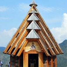
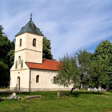
Zlatibor, serbian settlement
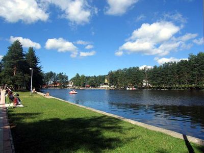
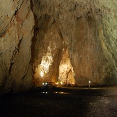
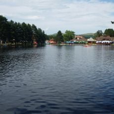
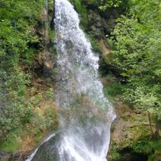
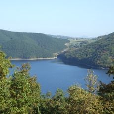
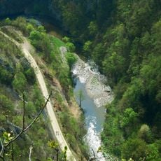
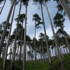
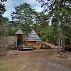
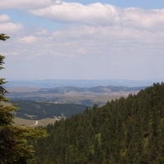
Zlatibor is a mountain area in Serbia covered primarily with pine forests and numerous hiking trails. The region features multiple peaks, waterfalls, natural caves, and a town center with a lake, shops, restaurants, and a Ferris wheel.
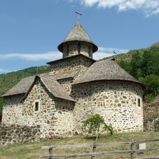
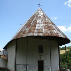
Zlatibor developed as a mountain settlement with traditional communities and later became a popular destination. World War II left its mark, commemorated by a monument called the Eternal Flame honoring those who fell during the conflict.
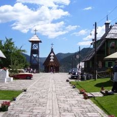
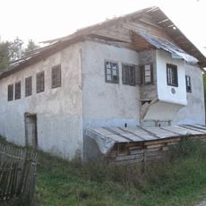
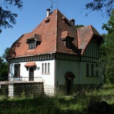
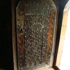
The name Zlatibor means 'golden fir' and reflects the forests that define this mountain region. Today, visitors see traditional crafts and old-style houses in nearby villages, where locals continue practices passed down through generations.
The area is open year-round, though spring through autumn is best for hiking while winter allows snow sports. Wear comfortable hiking boots and layers since weather can shift quickly.
The Gold Gondola is one of Europe's longest cable cars, spanning 9 kilometers to the Tornik peak. The 25-minute journey offers views of forests and mountain ranges throughout the entire ride.
The community of curious travelers
AroundUs brings together thousands of curated places, local tips, and hidden gems, enriched daily by 60,000 contributors worldwide.