
Етиркенське сільське поселення, human settlement in Verkhnebureinsky District, Khabarovsk Krai, Russia
Location: Verkhnebureinsky District
Capital city: Етиркен
GPS coordinates: 51.52250,131.52639
Latest update: May 30, 2025 04:13

Zeya Dam
379.2 km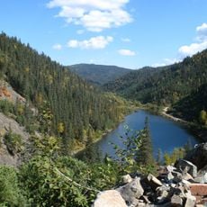
Lake Amut
349.1 km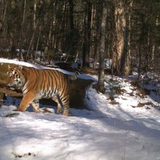
Bastak Nature Reserve
308.7 km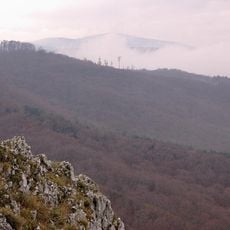
Zeya Nature Reserve
390 km
Bureya Nature Reserve
216.4 km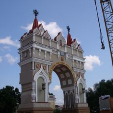
Triumphal arch in Blagoveshchensk
314.5 km
Bolon Nature Reserve
378.9 km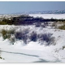
Khingan Nature Reserve
289.3 km
Bureinsky Ridge
196.9 km
Bolon
394.2 km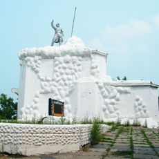
Volochaevsky Memorial
391.8 km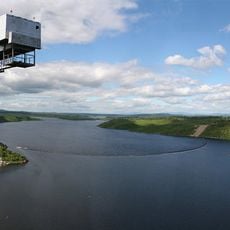
Bureya Reservoir
163.6 km
Nora Nature Reserve
137.9 km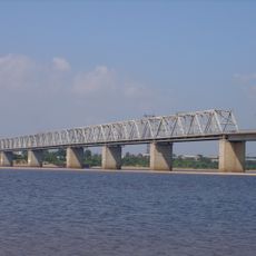
Road bridge over Zeya in Blagoveshchensk
309.1 km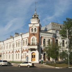
Amur Oblast Local Museum
314.2 km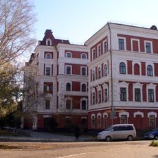
Blagoveshchensk State Pedagogical University
313.3 km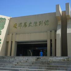
Aihui History Museum
331.9 km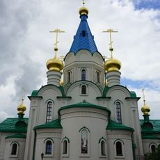
Annunciation Cathedral (Blagoveshchensk)
314.7 km
Beit T'shuva
321.7 km
Памятник Муравьёву-Амурскому
314.2 km
Lake Evoron
345.3 km
Музей истории пенсий
319.3 km
Aihui New City vestiges
332.5 km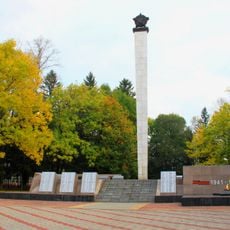
Victory Square
320.1 km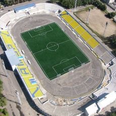
Amur Stadium
315.6 km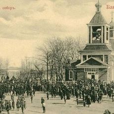
Cathedral of the Annunciation of the Blessed Virgin Mary
314.7 km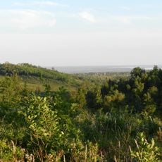
Благовещенский заказник
293.6 km
Церковь иконы Божией Матери «Всех скорбящих Радость»
311.4 kmReviews
Visited this place? Tap the stars to rate it and share your experience / photos with the community! Try now! You can cancel it anytime.
Discover hidden gems everywhere you go!
From secret cafés to breathtaking viewpoints, skip the crowded tourist spots and find places that match your style. Our app makes it easy with voice search, smart filtering, route optimization, and insider tips from travelers worldwide. Download now for the complete mobile experience.

A unique approach to discovering new places❞
— Le Figaro
All the places worth exploring❞
— France Info
A tailor-made excursion in just a few clicks❞
— 20 Minutes