
Задорожье, human settlement in Kostroma Oblast, Russia
Location: Судиславское сельское поселение
GPS coordinates: 57.93640,41.73340
Latest update: May 17, 2025 22:43
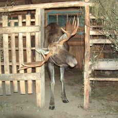
Kostroma Moose Farm
42.7 km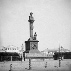
Ivan Susanin Monument
51.5 km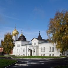
Theophany Convent, Kostroma
51.2 km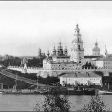
Kostroma Kremlin
51.5 km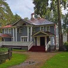
Schelykovo Estate, Kostroma Oblast
45.1 km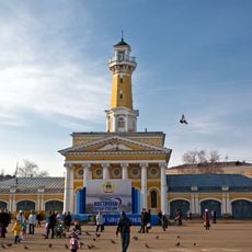
Fire lookout tower in Kostroma
51.4 km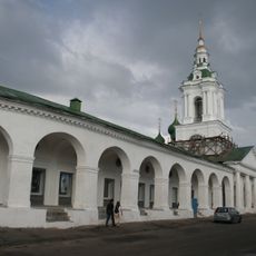
Kostroma Gostiny Dvor
51.5 km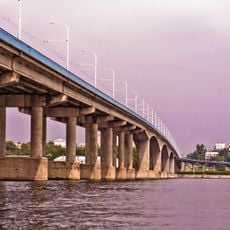
Kostroma Bridge
51.4 km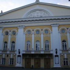
Ostrovsky State Drama Theatre
51 km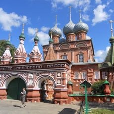
Church of the Resurrection
50.7 km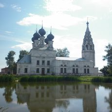
Resurrection Church in Susanino
25 km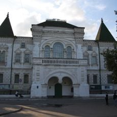
Kostroma Historical and Architectural Museum-Reserve
51.1 km
Romanov Museum
51.1 km
Borshchov Manor, Kostroma
51.2 km
Guard house, Kostroma
51.3 km
Kostroma region Museum of Nature
51.6 km
Saint John Chrysostom Church
50.8 km
Kostroma rail bridge
51.3 km
Church of the Holy Mandylion in the Rows
51.5 km
Monastery of the Theotokos of the Sign
50.7 km
Church of Alexis, a man of God, Kostroma
50.6 km
Железноборовский Предтеченский Яковлевский монастырь
46.9 km
Church of the Saviour Behind the Pond in Kostroma, Russia
50.8 km
בית הכנסת בקוסטרומה
50.6 km
Church of the Resurrection of Christ, Kostroma
51.2 km
Saint John the Evangelist church
51.1 km
Часовня Николая Чудотворца на Молочной горе
51.6 km
Church of the Theotokos of the Sign
50.7 kmReviews
Visited this place? Tap the stars to rate it and share your experience / photos with the community! Try now! You can cancel it anytime.
Discover hidden gems everywhere you go!
From secret cafés to breathtaking viewpoints, skip the crowded tourist spots and find places that match your style. Our app makes it easy with voice search, smart filtering, route optimization, and insider tips from travelers worldwide. Download now for the complete mobile experience.

A unique approach to discovering new places❞
— Le Figaro
All the places worth exploring❞
— France Info
A tailor-made excursion in just a few clicks❞
— 20 Minutes