
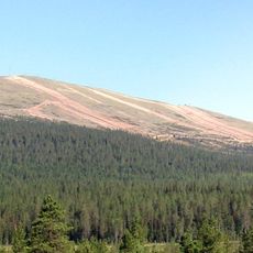
Ruohojoki, nature reserve in Norrbotten, Sweden
Location: Pajala Municipality
Inception: January 31, 1997
GPS coordinates: 67.61665,22.54020
Latest update: August 17, 2025 22:30
Ylläs
71.7 km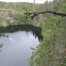
Pakasaivo
53.4 km
Hotel Pallas
79.8 km
Olostunturi
63.4 km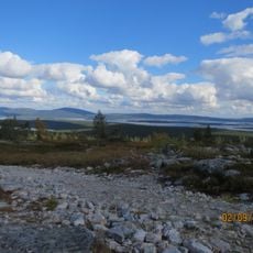
Särkitunturi
65.6 km
Ormen Långe
63 km
Käymäjärvi Inscriptions
30.9 km
Keimiötunturi
76.3 km
Læstadiuspörtet
57.7 km
Laukukero
80.1 km
Muonio Church
60.5 km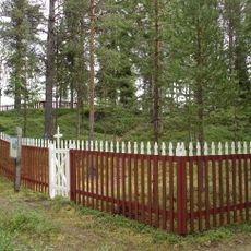
Akamella
59.5 km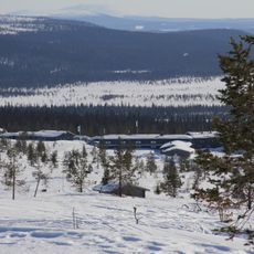
Pallastunturi Visitor Centre
79.9 km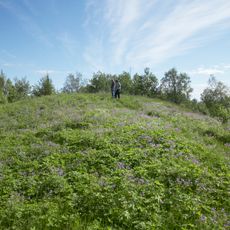
Jupukka
48.3 km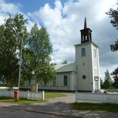
Vittangi Church
38.3 km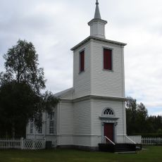
Muodoslompolo Church
52.5 km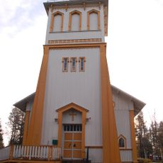
Tärendö Church
51.4 km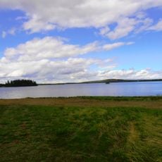
Soutujärvi
64.7 km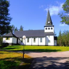
Ullatti Church
73.9 km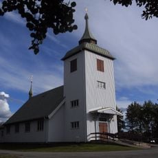
Junosuando Church
21.1 km
Soutujärvi Church
64.7 km
Kaunisvaara Church
43.4 km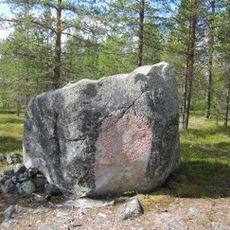
Seitakivi
57.3 km
Pajala och Korpilombolo tingslag
57.3 km
Kangos kyrka
15.3 km
Kolarin kunnankirjasto
62.1 km
Masugnsbyn
27.1 km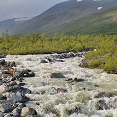
Torne och Kalix älvsystem
37 kmReviews
Visited this place? Tap the stars to rate it and share your experience / photos with the community! Try now! You can cancel it anytime.
Discover hidden gems everywhere you go!
From secret cafés to breathtaking viewpoints, skip the crowded tourist spots and find places that match your style. Our app makes it easy with voice search, smart filtering, route optimization, and insider tips from travelers worldwide. Download now for the complete mobile experience.

A unique approach to discovering new places❞
— Le Figaro
All the places worth exploring❞
— France Info
A tailor-made excursion in just a few clicks❞
— 20 Minutes