
Harry Martinsons Väg, path in Gothenburg, Sweden
Location: Gothenburg Municipality
GPS coordinates: 57.68686,11.89687
Latest update: April 11, 2025 12:35

Älvsborg Bridge
518 m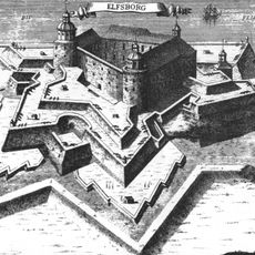
Älvsborg Fortress
694 m
Sjömagasinet Göteborg
895 m
Eriksbergs bockkran
1.3 km
Nasir Mosque
1.5 km
Sandarna
834 m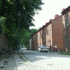
Reserva Cultural de Klippan
710 m
Taubehuset, Göteborg
1.5 km
Dalheimers hus
1.3 km
Rya Forest
1.1 km
Kungssten
795 m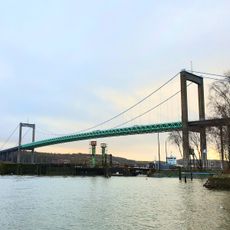
Färjenäsparken
1.2 km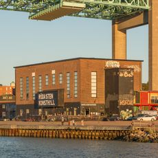
Röda Sten konsthall
383 m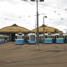
Vagnhallen Majorna
912 m
Klippans värdshus
928 m
Kustens hus
1.4 km
Sannaplan
1.2 km
Kapten Hanssons hus
1.6 km
Ankarsmedjan
1 km
Nobis, Nya Varvet
559 m
Röda Sten Konsthall
381 m
Klippans skolhus
882 m
Röda Byggnaden - Klippan 4
917 m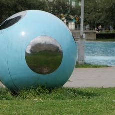
Boll
1.4 km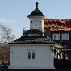
Tullpaviljongen
920 m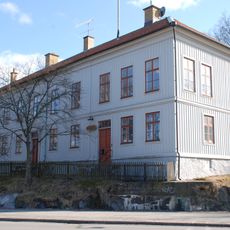
Ostindiska kompaniets corps-de-logi
920 m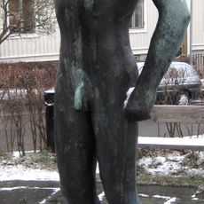
Ung man
1.7 km
Kungsladugårds mangårdsbyggnad
883 mReviews
Visited this place? Tap the stars to rate it and share your experience / photos with the community! Try now! You can cancel it anytime.
Discover hidden gems everywhere you go!
From secret cafés to breathtaking viewpoints, skip the crowded tourist spots and find places that match your style. Our app makes it easy with voice search, smart filtering, route optimization, and insider tips from travelers worldwide. Download now for the complete mobile experience.

A unique approach to discovering new places❞
— Le Figaro
All the places worth exploring❞
— France Info
A tailor-made excursion in just a few clicks❞
— 20 Minutes