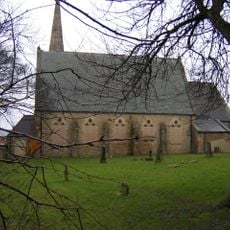
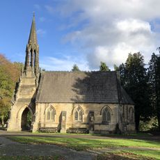
Dere Street, Roman road in Scottish Borders and North Yorkshire, United Kingdom
Dere Street is a Roman road in Scotland and northern England that runs 226 miles (364 km) from York through Corbridge to the Antonine Wall. It crosses multiple counties, including the Scottish Borders, North Yorkshire, County Durham, and several Scottish regions, following a military route northward.
The Romans built the road between 79 and 81 AD to move troops and supplies to their northern forts. After the Romans withdrew in the early fifth century, Anglo-Saxons and later medieval travelers continued to use parts of the route.
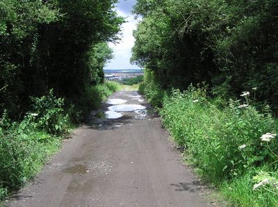
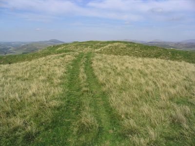
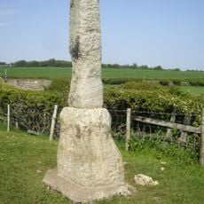
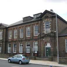
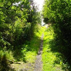
The name comes from the Anglo-Saxon kingdom of Deira and shows how later peoples adapted the Roman route for their own use. Hikers and cyclists now follow sections of the old path and discover traces of Roman stonework beside modern fields and villages.
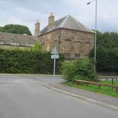
Modern roads such as the A1, B6275, and A68 follow sections of the Roman route and allow you to explore the path by car or bicycle. Walking trails cross other parts of the old road and offer quiet views over hills and valleys.
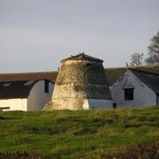
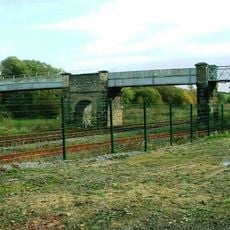
Archaeologists have uncovered evidence along the road of Roman engineering that incorporated local timber into the construction. Some sections also show traces of old bridges and rest stops where soldiers once paused.
The community of curious travelers
AroundUs brings together thousands of curated places, local tips, and hidden gems, enriched daily by 60,000 contributors worldwide.