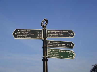
Thames Path, National trail along River Thames in England.
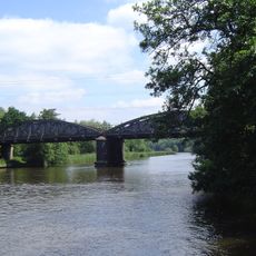
Thames Path is a National Trail along the River Thames in England, stretching 185 miles (298 kilometers) from its source in the Cotswolds to the Thames Barrier in Woolwich. The route passes through eight counties and follows the riverbank for most of its length, running through towns including Oxford, Windsor, and London.
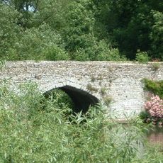
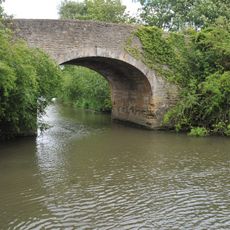
The route was designated a National Trail in 1996 and uses historic towpaths that were built for horses to pull cargo barges upstream. These paths served as primary transport routes along the river for centuries before railways replaced waterborne traffic.
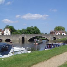
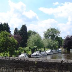
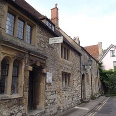
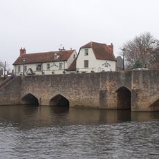
The route passes working locks operated by volunteer keepers, riverside pubs where locals gather, and small marinas where people moor narrowboats and sailboats. In rural stretches the trail crosses meadows grazed by sheep and cattle, while in the city it follows public waterfront promenades where people jog and cycle.
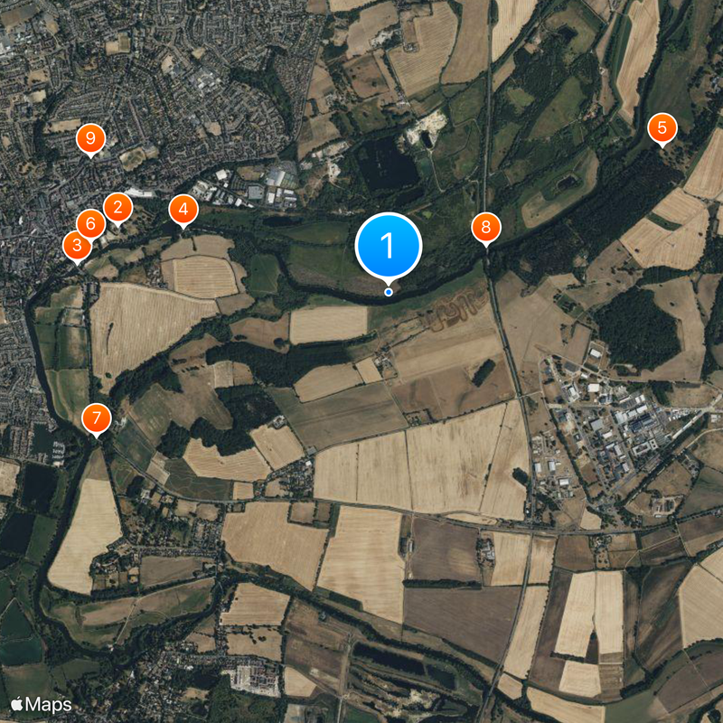
The trail is accessible at numerous points via railway stations and bus stops, allowing visitors to walk day sections without completing the full distance. Most segments are walkable year-round, though some riverside stretches may flood during high water.
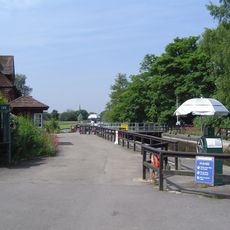
The route crosses more than 40 working locks, many still operated manually with large wooden gates and hand winches. Some sections, particularly near the source, can run dry as the riverbed shifts seasonally with groundwater levels.
The community of curious travelers
AroundUs brings together thousands of curated places, local tips, and hidden gems, enriched daily by 60,000 contributors worldwide.