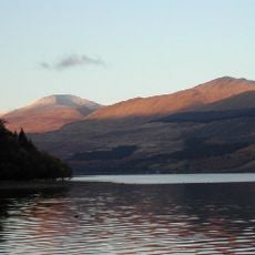
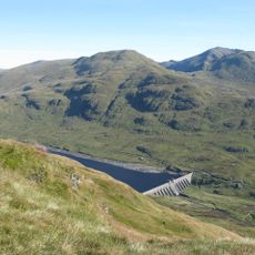
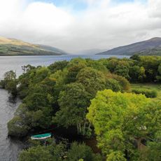
Loch Tay, Freshwater lake in central Scottish Highlands, United Kingdom.
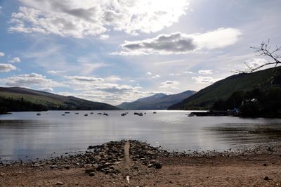
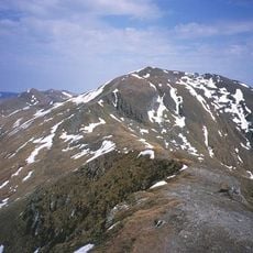
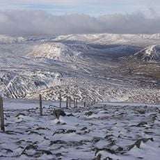
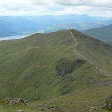
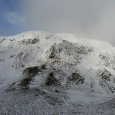
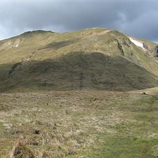
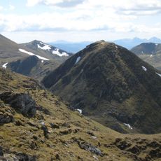
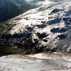
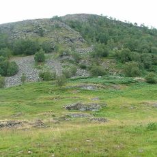
Loch Tay is a freshwater lake in the Scottish Highlands surrounded by steep mountainsides and wooded shores. The water is deep and cold, fed by rivers and streams that flow down from the higher peaks.
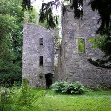
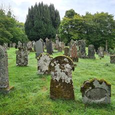
Human settlements date back to the Mesolithic period, with evidence of early occupation found around the lake's shores. Over centuries, the region became home to powerful Scottish clans who built strongholds and controlled the surrounding lands.
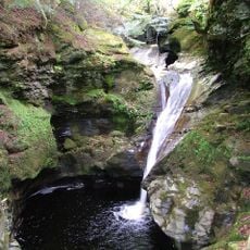
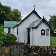
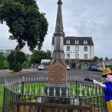
The name comes from the Gaelic word for "lake of the Tay" and reflects the Scottish heritage of the region. Local communities still gather along the shores for fishing and outdoor activities that connect them to the water.
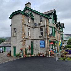
The lake can be accessed from Killin in the south or Kenmore in the north, both offering parking and access points. Water activities like fishing require local permits, so check regulations before planning your visit.
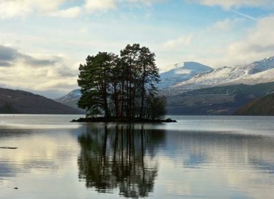
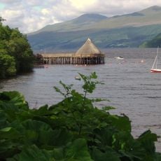
The Crannog Centre displays reconstructed dwellings from the Iron Age, showing how residents lived on artificial islands built in the water. These recreations reveal the ingenious building methods that ancient people used to create defensive homes.
Location: Perth and Kinross
Location: Kenmore
Location: Stirling
Address: Loch Tay, United Kingdom
GPS coordinates: 56.51556,-4.14611
Latest update: December 7, 2025 19:22
Fortingall Yew
10.9 km
Ben Lawers
5.6 km
Ben Chonzie
11.7 km
Finlarig Castle
11.3 km
Beinn Ghlas
6 km
Meall nan Tarmachan
9.6 km
Killin Stone Circle
11.6 km
Meall Garbh
6.8 km
An Stùc
6.6 km
Falls of Acharn
9.3 km
Meall Greigh
5.8 km
Meall Corranaich
7.2 km
Creagan na Beinne
6.5 km
Meall a' Choire Léith
9 km
Lawers Dam
8.1 km
Tullich Hill
2.7 km
Creag Ruadh
8.7 km
Kenmore Parish Church
11.8 km
Killin Parish Church
11.7 km
Burial-Ground, Killin Parish Church
11.6 km
St Fillan's Episcopal Church, Main Street, Killin
11.7 km
James Stewart Memorial Including Railings, Killin
11.7 km
Fortingall, Parish Church
10.9 km
Dreadnought Place Including Ancillary Structure And Boundary Walls, Main Street, Killin
11.8 km
Cill mo Chormaig,church and burial ground
2.6 km
Station House And Tarmachan Teashop, Larachbeag, Killin
11.7 km
Dreadnought Place Including Ancillary Structure And Boundary Walls, Main Street, Killin
11.8 km
The Scottish Crannog Centre
11.3 kmVisited this place? Tap the stars to rate it and share your experience / photos with the community! Try now! You can cancel it anytime.
Discover hidden gems everywhere you go!
From secret cafés to breathtaking viewpoints, skip the crowded tourist spots and find places that match your style. Our app makes it easy with voice search, smart filtering, route optimization, and insider tips from travelers worldwide. Download now for the complete mobile experience.
A unique approach to discovering new places❞
— Le Figaro
All the places worth exploring❞
— France Info
A tailor-made excursion in just a few clicks❞
— 20 Minutes