Geography of Wales, Geographic landscapes in Wales, United Kingdom
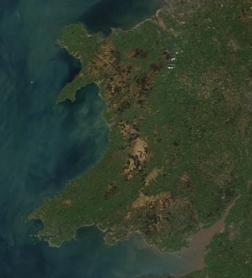
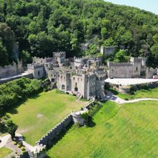
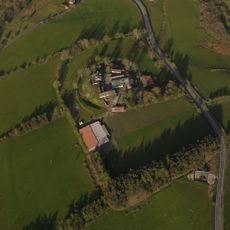
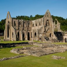
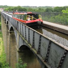
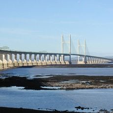
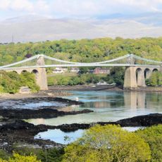
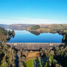
The geography of Wales encompasses mountains, valleys, rivers, and a lengthy coastline stretching along the western edge of Great Britain. The terrain is highly varied, shaped by multiple waterways and significant elevation changes throughout the territory.
The present boundary between Wales and England was established by legislation in 1535 and 1542 based on earlier medieval territorial arrangements. This legal separation created the Wales that exists today as a defined political entity.
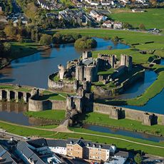
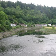
Wales divides into three main regions that shape how communities develop and interact with their surroundings. The north features rugged terrain, the middle offers rolling hills, and the south contains industrial towns with strong ties to the sea.
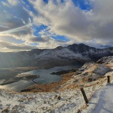
Rainfall varies significantly between western and eastern areas, with mountainous zones receiving more precipitation throughout the year. Visitors planning to explore elevated regions should prepare for changeable weather conditions at any time.
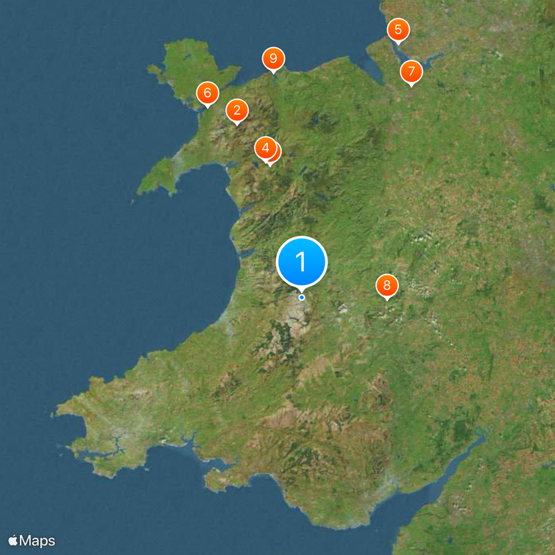
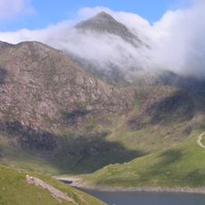
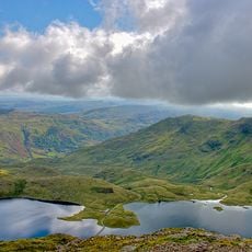
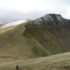
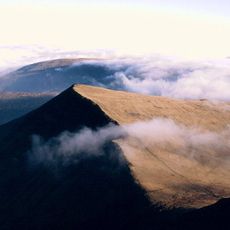
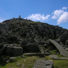
The Cambrian Mountains dominate the central region, while Snowdon stands as the highest peak, towering above the surrounding landscape. This distinctive summit remains visible from many parts of the territory and serves as a natural landmark.
The community of curious travelers
AroundUs brings together thousands of curated places, local tips, and hidden gems, enriched daily by 60,000 contributors worldwide.