Enable Location

We need your location to show you interesting places around you

Discover nearby places

Find interesting locations and hidden gems around you

Precise directions

Get accurate directions and distances to places

Your location is never shared with other users. It's only used when you tap the location button.

Anglezarke Reservoir

Log in to your account

Start exploring — it's free

Trusted by 66,991 travelers worldwide

Continue with Google
Continue with Apple
or

We will send you a code to connect

By continuing, you accept our Terms and Conditions and our Privacy Policy

Check your inbox

We've sent a pincode in your inbox. Please enter the code below.

Anglezarke Reservoir
Discussion Reviews 1 Photos
4.1k Popularity

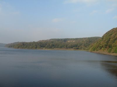
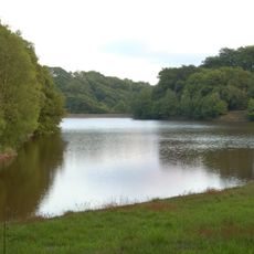
Anglezarke Reservoir, lake in the United Kingdom

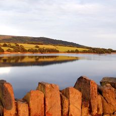
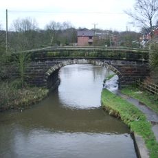
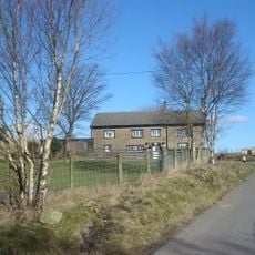
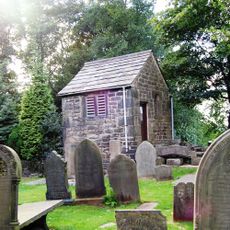
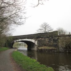
Anglezarke Reservoir is a drinking water reservoir in Lancashire, set among moorland, fields, and patches of woodland on the edge of the West Pennine Moors. It is one of several reservoirs in the area and is surrounded by a network of paths that follow the shoreline and cross the surrounding land.

The reservoir was built in the 19th century by Liverpool Corporation to supply drinking water to the growing city. It formed part of a connected system of water bodies that expanded gradually across the surrounding area.

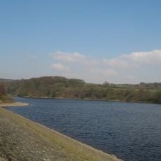
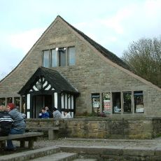
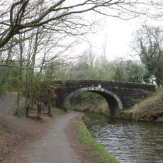
The reservoir is a popular spot for walkers from the nearby towns, who use the paths around the water as part of longer routes through the moorland. On weekends, families and dog walkers stop along the shore, making it a well-used part of everyday local life.

A car park near Moor Road is the most common starting point, and the paths around the water are easy to follow without any special preparation. Footwear with a good grip is worth wearing, as some sections can get muddy after wet weather.

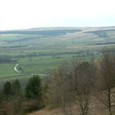
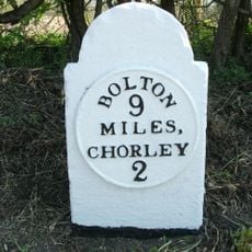
The smaller High Bullough Reservoir nearby was built before Anglezarke and was originally intended to supply the town of Chorley rather than Liverpool. It is now part of the same water network but receives far fewer visitors and often goes unnoticed even by regular walkers in the area.

The community of curious travelers

AroundUs brings together thousands of curated places, local tips, and hidden gems, enriched daily by 60,000 contributors worldwide.

Start exploring
Location
Location
Location
Location
Elevation above the sea
141 m
Part of
Rivington Reservoirs
GPS coordinates
53.64167,-2.58333
Latest update
March 3, 2026 10:04
Reviews
Share your experience

No review yet

Discussions
Start a discussion...

No discussion yet

« Anglezarke Reservoir - lake in the United Kingdom » is provided by Around Us (aroundus.com). Images and texts are derived from Wikimedia project under a Creative Commons license. You are allowed to copy, distribute, and modify copies of this page, under the conditions set by the license, as long as this note is clearly visible.

Discover hidden gems everywhere you go!

From secret cafés to breathtaking viewpoints, skip the crowded tourist spots and find places that match your style. Our app makes it easy with voice search, smart filtering, route optimization, and insider tips from travelers worldwide. Download now for the complete mobile experience.

Around Us App Screenshot

A unique approach to discovering new places

Le Figaro

All the places worth exploring

France Info

A tailor-made excursion in just a few clicks

20 Minutes

Around Us
Travel Guide & Maps
Download

Send to your phone

QR Code
1

Open the camera app on your mobile.

2

Point at the QR code with your camera. A notification will appear.

3

Tap the notification to open the link.