Heath Charnock, village and civil parish in Lancashire, UK
The community of curious travelers
AroundUs brings together thousands of curated places, local tips, and hidden gems, enriched daily by 60,000 contributors worldwide.
Location
Shares border with
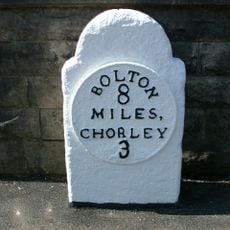
Chorley
GPS coordinates
53.62546,-2.61383
Latest update
March 11, 2025 03:21