
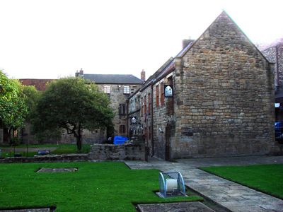
BlackFriars, Newcastle-upon-Tyne, Grade I listed 13th-century friary in Newcastle-upon-Tyne
Location: Newcastle upon Tyne
Inception: 13 century
GPS coordinates: 54.97180,-1.61939
Latest update: October 1, 2025 21:00
Borders of the Roman Empire
62.7 km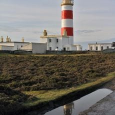
Point of Ayre Lighthouse
187.3 km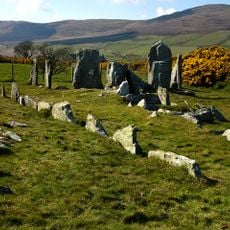
Cashtal yn Ard
193.1 km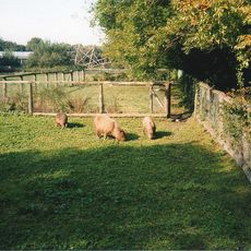
Curraghs Wildlife Park
200.1 km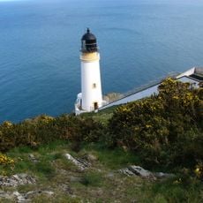
Maughold Head Lighthouse
188.9 km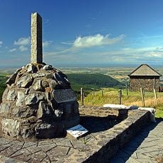
Guthrie's Memorial
194.7 km
Gooseneck, Isle of Man
192.8 km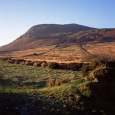
North Barrule
194.1 km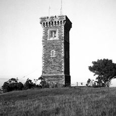
The Albert Tower
192.3 km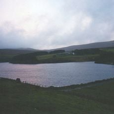
Sulby Reservoir
201.3 km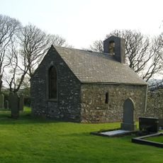
St. Adamnan's Church, Lonan
200.2 km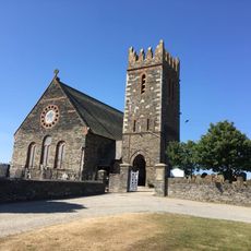
St Andrew's Church, Andreas, Isle of Man
193.9 km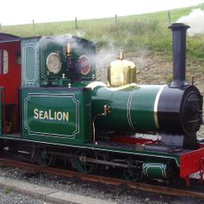
Sea Lion
201.3 km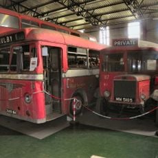
Jurby Transport Museum
199.1 km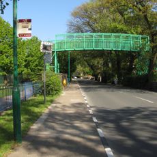
School House Corner
192.7 km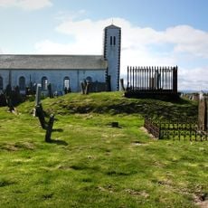
St. Patrick's Church, Jurby
200.2 km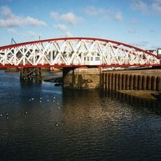
Ramsey Harbour Swing Bridge
192 km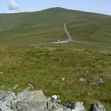
Beinn-y-Phott
201.8 km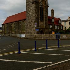
Our Lady, Star of the Sea & St Maughold Church
191.8 km
St Paul's, Ramsey
191.9 km
The Grove Museum of Victorian Life
192.4 km
Cronk Sumark
197.8 km
Sigurds Cross
193.8 km
Bride (parokya)
190 km
Christ Church Laxey
197.6 km
Ramsey Library
192.3 km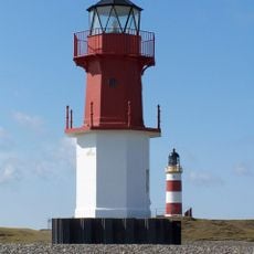
Point of Ayre Low Light
187 km
Laxey (parokya)
197.6 kmReviews
Visited this place? Tap the stars to rate it and share your experience / photos with the community! Try now! You can cancel it anytime.
Discover hidden gems everywhere you go!
From secret cafés to breathtaking viewpoints, skip the crowded tourist spots and find places that match your style. Our app makes it easy with voice search, smart filtering, route optimization, and insider tips from travelers worldwide. Download now for the complete mobile experience.

A unique approach to discovering new places❞
— Le Figaro
All the places worth exploring❞
— France Info
A tailor-made excursion in just a few clicks❞
— 20 Minutes